Greenleigh geodata
Greenleigh (New South Wales) is a section of populated place; located in Australia in Australia/Sydney (GMT+11) time zone. With population of 658 people, there are 4414 cities with bigger population in this country. Compared to other cities in Australia, 76.3% of cities are located further ↑North; 55.8% of cities are located further ←West and 97.6% of cities have lower elevation than Greenleigh. Note1


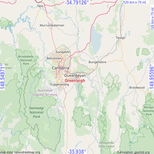
Greenleigh GPS coordinates[2]
35° 22' 0.012" South, 149° 15' 10.188" East
| Map corner | latitude | longitude |
|---|---|---|
| Upper-left | -34.79126°, | 148.54971° |
| Center: | -35.36667°, | 149.25283° |
| Lower-right: | -35.938°, | 149.95596° |
| Map W x H: | 127.5×127.5 km | = 79.2×79.2mi |
| max Lat: | -10.58257° ⇑76.3% North |
| Greenleigh: | -35.36667° |
| min Lat: | ⇓23.7% South -43.31423° |
| min Long | Greenleigh | max Long |
| 113.53327° | 149.25283° | 153.61246° |
| W 55.8%⇐ | ⇒44.2% E |
Elevation
Elevation of Greenleigh is 647 m = 2123 ft, and this is 525 m = 1722 ft above average elevation for this country.
| Max E: |
1715 m = 5627 ft | 2.4% |
| Greenleigh | 647 m 2123 ft | |
| Avg. | 122 m = 400 ft | |
Min E: |
-2 m = -7 ft | 97.6% |
See also: Australia elevation on elevation.city.
Geographical zone
Greenleigh is located in South temperate zone (between Tropic of Capricorn and the Antarctic Circle). Distance of this Southern Tropic circle is 1326.5 km =824.2 mi to North.| Distance of | km | miles | from Greenleigh |
|---|---|---|---|
| Equator | 3932.4 | 2443.5 | to North |
| Tropic Capricorn | 1326.5 | 824.2 | to North |
| Antarctic Circle | 3468.8 | 2155.4 | to South |
| South Pole | 6074.7 | 3774.6 | to South |


Nearby cities:
15 places around Greenleigh: (largest is in red/bold)
• Barton
12.2 km =7.6 mi,  304°
304°
• Carwoola
6.4 km =4 mi,  101°
101°
• Crestwood
3.8 km =2.4 mi, 302°
• Gilmore
12.2 km =7.6 mi,  241°
241°
• Googong
8.8 km =5.5 mi,  204°
204°
• Griffith
11.5 km =7.1 mi,  293°
293°
• Jerrabomberra
5 km =3.1 mi,  246°
246°
• Karabar
2.1 km =1.3 mi, 240°
• Kingston
11.2 km =7 mi, 300°
• Macarthur
12.3 km =7.6 mi, 247°
• Narrabundah
10 km =6.2 mi, 290°
• Queanbeyan
2.3 km =1.4 mi, 304°
• Queanbeyan East
2.4 km =1.5 mi,  344°
344°
• Queanbeyan West
4.6 km =2.9 mi, 286°
• Symonston
8.7 km =5.4 mi,  281°
281°
Sources, notices
• [Note1] Compared only with cities in Australia existing in our database
• [Src1] Map data: © OpenStreetMap contributors (CC-BY-SA)
• [Src2] Other city data from geonames.org with taken over terms of usage.
• [Src3] Geographical zone / Annual Mean Temperature by Robert A. Rohde @ Wikipedia
