South Mackay geodata
South Mackay (Queensland) is a section of populated place; located in Australia in Australia/Brisbane (GMT+10) time zone. With population of 6,494 people, there are 1076 cities with bigger population in this country. Compared to other cities in Australia, 93.1% of cities are located further ↓South; 55.3% of cities are located further ←West and 98.8% of cities have higher elevation than South Mackay. Note1


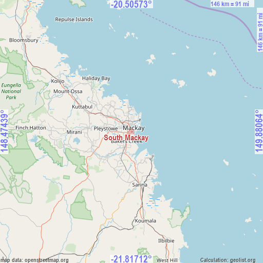
South Mackay GPS coordinates[2]
21° 9' 46.368" South, 149° 10' 39.036" East
| Map corner | latitude | longitude |
|---|---|---|
| Upper-left | -20.50573°, | 148.47439° |
| Center: | -21.16288°, | 149.17751° |
| Lower-right: | -21.81712°, | 149.88064° |
| Map W x H: | 145.8×145.8 km | = 90.6×90.6mi |
| max Lat: | -10.58257° ⇑6.9% North |
| South Mackay: | -21.16288° |
| min Lat: | ⇓93.1% South -43.31423° |
| min Long | South Mackay | max Long |
| 113.53327° | 149.17751° | 153.61246° |
| W 55.3%⇐ | ⇒44.7% E |
Elevation
Elevation of South Mackay is 3 m = 10 ft, and this is 119 m = 390 ft below average elevation for this country.
| Max E: |
1715 m = 5627 ft | 98.8% |
| Avg. | 122 m = 400 ft | |
| South Mackay | 3 m = 10 ft | |
Min E: |
-2 m = -7 ft | 1.2% |
See also: Australia elevation on elevation.city.
Geographical zone
South Mackay is located in South Torrid zone (between Equator and Tropic of Capricorn). Distance of this Southern Tropic circle is 252.8 km =157.1 mi to South.| Distance of | km | miles | from South Mackay |
|---|---|---|---|
| Equator | 2353.1 | 1462.1 | to North |
| Tropic Capricorn | 252.8 | 157.1 | to South |
| Antarctic Circle | 5048.1 | 3136.7 | to South |
| South Pole | 7654 | 4756 | to South |


Nearby cities:
15 places around South Mackay: (largest is in red/bold)
• Andergrove
8.9 km =5.5 mi,  3°
3°
• Bakers Creek
7.1 km =4.4 mi,  206°
206°
• Beaconsfield
8.1 km =5 mi,  351°
351°
• East Mackay
2.4 km =1.5 mi,  53°
53°
• Erakala
7.4 km =4.6 mi,  301°
301°
• Farleigh
10.1 km =6.3 mi,  309°
309°
• Glenella
6.1 km =3.8 mi,  325°
325°
• Mackay
1.6 km =1 mi, 310°
• Mackay City
2.2 km =1.4 mi,  25°
25°
• Mackay Harbour
7 km =4.3 mi, 30°
• Mount Pleasant
5.3 km =3.3 mi,  339°
339°
• North Mackay
4.8 km =3 mi, 2°
• Ooralea
3.3 km =2.1 mi,  248°
248°
• Slade Point
10.9 km =6.8 mi, 26°
• West Mackay
1.9 km =1.2 mi, 299°
Sources, notices
• [Note1] Compared only with cities in Australia existing in our database
• [Src1] Map data: © OpenStreetMap contributors (CC-BY-SA)
• [Src2] Other city data from geonames.org with taken over terms of usage.
• [Src3] Geographical zone / Annual Mean Temperature by Robert A. Rohde @ Wikipedia
