North Narooma geodata
North Narooma (New South Wales) is a populated place; located in Australia in Australia/Sydney (GMT+11) time zone. With population of 594 people, there are 4587 cities with bigger population in this country. Compared to other cities in Australia, 79.1% of cities are located further ↑North; 57.2% of cities are located further ←West and 66.6% of cities have lower elevation than North Narooma. Note1


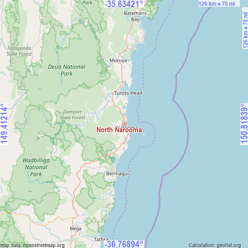
North Narooma GPS coordinates[2]
36° 12' 13.068" South, 150° 6' 54.936" East
| Map corner | latitude | longitude |
|---|---|---|
| Upper-left | -35.63421°, | 149.41214° |
| Center: | -36.20363°, | 150.11526° |
| Lower-right: | -36.76894°, | 150.81839° |
| Map W x H: | 126.2×126.2 km | = 78.4×78.4mi |
| max Lat: | -10.58257° ⇑79.1% North |
| North Narooma: | -36.20363° |
| min Lat: | ⇓20.9% South -43.31423° |
| min Long | North Narooma | max Long |
| 113.53327° | 150.11526° | 153.61246° |
| W 57.2%⇐ | ⇒42.8% E |
Elevation
Elevation of North Narooma is 86 m = 282 ft, and this is 36 m = 118 ft below average elevation for this country.
| Max E: |
1715 m = 5627 ft | 33.4% |
| Avg. | 122 m = 400 ft | |
| North Narooma | 86 m = 282 ft | |
Min E: |
-2 m = -7 ft | 66.6% |
See also: Australia elevation on elevation.city.
Geographical zone
North Narooma is located in South temperate zone (between Tropic of Capricorn and the Antarctic Circle). Distance of this Southern Tropic circle is 1419.5 km =882 mi to North.| Distance of | km | miles | from North Narooma |
|---|---|---|---|
| Equator | 4025.5 | 2501.3 | to North |
| Tropic Capricorn | 1419.5 | 882 | to North |
| Antarctic Circle | 3375.7 | 2097.6 | to South |
| South Pole | 5981.6 | 3716.8 | to South |


Nearby cities:
15 places around North Narooma: (largest is in red/bold)
• Bermagui
24.4 km =15.2 mi,  190°
190°
• Bodalla
13.8 km =8.6 mi,  335°
335°
• Broulee
39.2 km =24.4 mi,  7°
7°
• Cobargo
29 km =18 mi,  225°
225°
• Dalmeny
4.4 km =2.7 mi,  16°
16°
• Kianga
1.4 km =0.9 mi,  45°
45°
• Lilli Pilli
48.6 km =30.2 mi, 12°
• Malua Bay
46.7 km =29 mi, 12°
• Moruya
32.5 km =20.2 mi,  354°
354°
• Moruya Heads
32 km =19.9 mi, 6°
• Mossy Point
40.9 km =25.4 mi, 8°
• Narooma
2.2 km =1.4 mi,  135°
135°
• Tomakin
42.8 km =26.6 mi, 8°
• Tuross Head
16.8 km =10.4 mi, 5°
• Wallaga Lake
20.7 km =12.9 mi, 191°
Sources, notices
• [Note1] Compared only with cities in Australia existing in our database
• [Src1] Map data: © OpenStreetMap contributors (CC-BY-SA)
• [Src2] Other city data from geonames.org with taken over terms of usage.
• [Src3] Geographical zone / Annual Mean Temperature by Robert A. Rohde @ Wikipedia
