Omanjska geodata
Omanjska (Federation of B&H) is a seat of a third-order administrative division; located in Bosnia and Herzegovina in Europe/Sarajevo (GMT+2) time zone. With population of 4 people, there are 229 cities with bigger population in this country. Compared to other cities in Bosnia and Herzegovina, 67.5% of cities are located further ↓South; 50.6% of cities are located further →East and 63.8% of cities have higher elevation than Omanjska. Note1


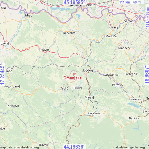
Omanjska GPS coordinates[2]
44° 41' 53.916" North, 17° 57' 27.252" East
| Map corner | latitude | longitude |
|---|---|---|
| Upper-left | 45.19595°, | 17.25445° |
| Center: | 44.69831°, | 17.95757° |
| Lower-right: | 44.19636°, | 18.6607° |
| Map W x H: | 111.1×111.1 km | = 69×69mi |
| max Lat: | 45.21956° ⇑32.5% North |
| Omanjska: | 44.69831° |
| min Lat: | ⇓67.5% South 42.71197° |
| min Long | Omanjska | max Long |
| 15.77806° | 17.95757° | 19.36719° |
| W 49.4%⇐ | ⇒50.6% E |
Elevation
Elevation of Omanjska is 223 m = 732 ft, and this is 136.5 m = 448 ft below average elevation for this country.
| Max E: |
1175 m = 3855 ft | 63.8% |
| Avg. | 359.5 m = 1179 ft | |
| Omanjska | 223 m = 732 ft | |
Min E: |
17 m = 56 ft | 36.2% |
See also: Bosnia and Herzegovina elevation on elevation.city.
Geographical zone
Omanjska is located in North temperate zone (between Tropic of Cancer and the Arctic Circle). Distance of this Northern Tropic circle is 2364.1 km =1469 mi to South.| Distance of | km | miles | from Omanjska |
|---|---|---|---|
| North Pole | 5037.1 | 3129.9 | to North |
| Arctic Circle | 2431.2 | 1510.7 | to North |
| Tropic Cancer | 2364.1 | 1469 | to South |
| Equator | 4970 | 3088.2 | to South |


Nearby cities:
15 places around Omanjska: (largest is in red/bold)
• Doboj
10.9 km =6.8 mi,  69°
69°
• Jelah
4.9 km =3 mi,  178°
178°
• Karadaglije
15 km =9.3 mi,  161°
161°
• Klokotnica
18.7 km =11.6 mi,  78°
78°
• Lukavica
18.2 km =11.3 mi, 66°
• Maglaj
20.2 km =12.6 mi,  146°
146°
• Matuzići
7.3 km =4.5 mi,  99°
99°
• Novi Šeher
21.6 km =13.4 mi,  165°
165°
• Pribinić
23.3 km =14.5 mi,  245°
245°
• Stanari
11.5 km =7.1 mi,  296°
296°
• Stjepan-Polje
23.8 km =14.8 mi,  85°
85°
• Teslić
12.8 km =8 mi,  217°
217°
• Tešanj
9.9 km =6.2 mi, 167°
• Tešanjka
5.1 km =3.2 mi,  124°
124°
• Čečava
15.9 km =9.9 mi,  262°
262°
Sources, notices
• [Note1] Compared only with cities in Bosnia and Herzegovina existing in our database
• [Src1] Map data: © OpenStreetMap contributors (CC-BY-SA)
• [Src2] Other city data from geonames.org with taken over terms of usage.
• [Src3] Geographical zone / Annual Mean Temperature by Robert A. Rohde @ Wikipedia
