Maragua geodata
Maragua (Chuquisaca) is a seat of a fourth-order administrative division; located in Bolivia in America/La_Paz (GMT-4) time zone. In our database, there are 117 cities with bigger population. Compared to other cities in Bolivia, 72% of cities are located further ↑North; 59% of cities are located further →East and 74.5% of cities have lower elevation than Maragua. Note1
Administrative division(s):
- Level 1: Chuquisaca
- Level 2: Provincia Oropeza
- Level 3: Sucre (Capital)
- Level 4: Maragua


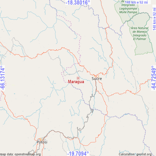
Maragua GPS coordinates[2]
19° 2' 45.996" South, 65° 25' 42.996" West
| Map corner | latitude | longitude |
|---|---|---|
| Upper-left | -18.38016°, | -66.13174° |
| Center: | -19.04611°, | -65.42861° |
| Lower-right: | -19.7094°, | -64.72549° |
| Map W x H: | 147.8×147.8 km | = 91.8×91.8mi |
| max Lat: | -9.71828° ⇑72% North |
| Maragua: | -19.04611° |
| min Lat: | ⇓28% South -22.73206° |
| min Long | Maragua | max Long |
| -69.14843° | -65.42861° | -57.76667° |
| W 41%⇐ | ⇒59% E |
Elevation
Elevation of Maragua is 3104 m = 10184 ft, and this is 1092.7 m = 3585 ft above average elevation for this country.
| Max E: |
4732 m = 15525 ft | 25.5% |
| Maragua | 3104 m 10184 ft | |
| Avg. | 2011.3 m = 6599 ft | |
Min E: |
92 m = 302 ft | 74.5% |
See also: Bolivia elevation on elevation.city.
Geographical zone
Maragua is located in South Torrid zone (between Equator and Tropic of Capricorn). Distance of this Southern Tropic circle is 488.2 km =303.4 mi to South.| Distance of | km | miles | from Maragua |
|---|---|---|---|
| Equator | 2117.7 | 1315.9 | to North |
| Tropic Capricorn | 488.2 | 303.4 | to South |
| Antarctic Circle | 5283.4 | 3283 | to South |
| South Pole | 7889.3 | 4902.2 | to South |


Nearby cities:
15 places around Maragua: (largest is in red/bold)
• Chaunaca
5.2 km =3.2 mi,  309°
309°
• Chuqui Chuqui
45.8 km =28.5 mi,  56°
56°
• Huata
19.1 km =11.9 mi,  80°
80°
• Huayllas
17.5 km =10.9 mi,  141°
141°
• Mojotoro
40.7 km =25.3 mi,  69°
69°
• Piocera
33.1 km =20.6 mi,  5°
5°
• Pocpo
24.5 km =15.2 mi,  15°
15°
• Potolo
11.4 km =7.1 mi,  293°
293°
• Presto
53.1 km =33 mi, 75°
• Pulqui
30.5 km =19 mi,  133°
133°
• Sotomayor
55.7 km =34.6 mi, 125°
• Sucre
17.5 km =10.9 mi,  85°
85°
• Tarabuco
56 km =34.8 mi,  105°
105°
• Yamparáez
35.8 km =22.2 mi,  116°
116°
• Yotala
21.3 km =13.2 mi, 125°
Sources, notices
• [Note1] Compared only with cities in Bolivia existing in our database
• [Src1] Map data: © OpenStreetMap contributors (CC-BY-SA)
• [Src2] Other city data from geonames.org with taken over terms of usage.
• [Src3] Geographical zone / Annual Mean Temperature by Robert A. Rohde @ Wikipedia
