Nova Floresta geodata
Nova Floresta (Paraíba) is a populated place; located in Brazil in America/Fortaleza (GMT-3) time zone. With population of 8,623 people, there are 1745 cities with bigger population in this country. Compared to other cities in Brazil, 83.2% of cities are located further ↓South; 92% of cities are located further ←West and 78.2% of cities have lower elevation than Nova Floresta. Note1


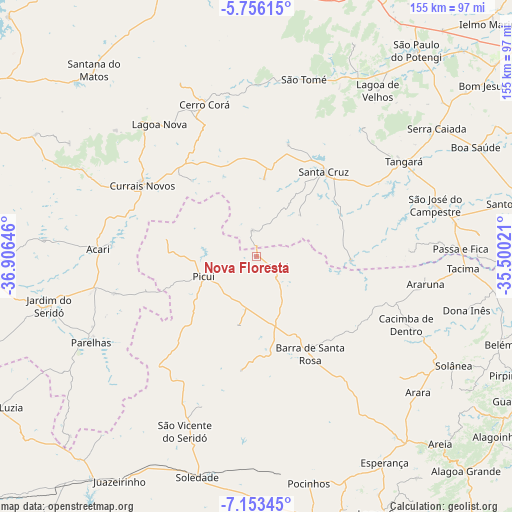
Nova Floresta GPS coordinates[2]
6° 27' 19.008" South, 36° 12' 11.988" West
| Map corner | latitude | longitude |
|---|---|---|
| Upper-left | -5.75615°, | -36.90646° |
| Center: | -6.45528°, | -36.20333° |
| Lower-right: | -7.15345°, | -35.50021° |
| Map W x H: | 155.4×155.4 km | = 96.6×96.6mi |
| max Lat: | 2.81972° ⇑16.8% North |
| Nova Floresta: | -6.45528° |
| min Lat: | ⇓83.2% South -33.69111° |
| min Long | Nova Floresta | max Long |
| -72.89583° | -36.20333° | -32.41083° |
| W 92%⇐ | ⇒8% E |
Elevation
Elevation of Nova Floresta is 670 m = 2198 ft, and this is 289.1 m = 948 ft above average elevation for this country.
| Max E: |
1603 m = 5259 ft | 21.8% |
| Nova Floresta | 670 m 2198 ft | |
| Avg. | 380.9 m = 1250 ft | |
Min E: |
0 m = 0 ft | 78.2% |
See also: Brazil elevation on elevation.city.
Geographical zone
Nova Floresta is located in South Torrid zone (between Equator and Tropic of Capricorn). Distance of Equator is 717.8 km =446 mi to North.| Distance of | km | miles | from Nova Floresta |
|---|---|---|---|
| Equator | 717.8 | 446 | to North |
| Tropic Capricorn | 1888.2 | 1173.3 | to South |
| Antarctic Circle | 6683.4 | 4152.9 | to South |
| South Pole | 9289.3 | 5772.1 | to South |


Nearby cities:
15 places around Nova Floresta: (largest is in red/bold)
• Arara
64.3 km =40 mi,  130°
130°
• Araruna
52.3 km =32.5 mi,  102°
102°
• Cacimba de Dentro
50.1 km =31.1 mi,  114°
114°
• Cerro Corá
48.2 km =30 mi,  340°
340°
• Cuité
6.3 km =3.9 mi,  119°
119°
• Currais Novos
40.9 km =25.4 mi,  301°
301°
• Jardim do Seridó
64.7 km =40.2 mi,  257°
257°
• Lagoa Nova
50.2 km =31.2 mi,  321°
321°
• Monte Alegre
63.8 km =39.6 mi,  350°
350°
• Parelhas
56.4 km =35 mi,  242°
242°
• Picuí
17 km =10.6 mi,  248°
248°
• Santa Cruz
32.1 km =19.9 mi,  38°
38°
• São José do Campestre
56.3 km =35 mi,  73°
73°
• São Tomé
55.5 km =34.5 mi,  14°
14°
• Tangará
52.7 km =32.7 mi,  57°
57°
Sources, notices
• [Note1] Compared only with cities in Brazil existing in our database
• [Src1] Map data: © OpenStreetMap contributors (CC-BY-SA)
• [Src2] Other city data from geonames.org with taken over terms of usage.
• [Src3] Geographical zone / Annual Mean Temperature by Robert A. Rohde @ Wikipedia
