Aroeiras geodata
Aroeiras (Paraíba) is a populated place; located in Brazil in America/Fortaleza (GMT-3) time zone. With population of 7,019 people, there are 1831 cities with bigger population in this country. Compared to other cities in Brazil, 77.4% of cities are located further ↓South; 94.5% of cities are located further ←West and 51.1% of cities have higher elevation than Aroeiras. Note1


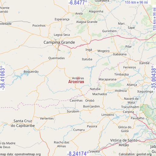
Aroeiras GPS coordinates[2]
7° 32' 43.008" South, 35° 42' 27" West
| Map corner | latitude | longitude |
|---|---|---|
| Upper-left | -6.8477°, | -36.41063° |
| Center: | -7.54528°, | -35.7075° |
| Lower-right: | -8.24174°, | -35.00438° |
| Map W x H: | 155×155 km | = 96.3×96.3mi |
| max Lat: | 2.81972° ⇑22.6% North |
| Aroeiras: | -7.54528° |
| min Lat: | ⇓77.4% South -33.69111° |
| min Long | Aroeiras | max Long |
| -72.89583° | -35.7075° | -32.41083° |
| W 94.5%⇐ | ⇒5.5% E |
Elevation
Elevation of Aroeiras is 341 m = 1119 ft, and this is 39.9 m = 131 ft below average elevation for this country.
| Max E: |
1603 m = 5259 ft | 51.1% |
| Avg. | 380.9 m = 1250 ft | |
| Aroeiras | 341 m = 1119 ft | |
Min E: |
0 m = 0 ft | 48.9% |
See also: Brazil elevation on elevation.city.
Geographical zone
Aroeiras is located in South Torrid zone (between Equator and Tropic of Capricorn). Distance of Equator is 839 km =521.3 mi to North.| Distance of | km | miles | from Aroeiras |
|---|---|---|---|
| Equator | 839 | 521.3 | to North |
| Tropic Capricorn | 1767 | 1098 | to South |
| Antarctic Circle | 6562.2 | 4077.6 | to South |
| South Pole | 9168.1 | 5696.8 | to South |


Nearby cities:
15 places around Aroeiras: (largest is in red/bold)
• Bom Jardim
30.9 km =19.2 mi,  154°
154°
• Campina Grande
39.9 km =24.8 mi,  331°
331°
• Fagundes
22.4 km =13.9 mi,  340°
340°
• Ingá
31.5 km =19.6 mi,  21°
21°
• Itatuba
20.8 km =12.9 mi, 24°
• João Alfredo
36.9 km =22.9 mi,  159°
159°
• Macaparana
28.1 km =17.5 mi,  92°
92°
• Massaranduba
39.4 km =24.5 mi,  346°
346°
• Mogeiro
37.1 km =23.1 mi,  42°
42°
• Natuba
20.4 km =12.7 mi,  121°
121°
• Orobó
25.1 km =15.6 mi, 152°
• Salgado de São Félix
36.1 km =22.4 mi,  54°
54°
• Surubim
32.4 km =20.1 mi,  189°
189°
• Timbaúba
43.1 km =26.8 mi,  84°
84°
• Umbuzeiro
17.4 km =10.8 mi, 163°
Sources, notices
• [Note1] Compared only with cities in Brazil existing in our database
• [Src1] Map data: © OpenStreetMap contributors (CC-BY-SA)
• [Src2] Other city data from geonames.org with taken over terms of usage.
• [Src3] Geographical zone / Annual Mean Temperature by Robert A. Rohde @ Wikipedia
