Fort Albany geodata
Fort Albany (Ontario) is a populated locality; located in Canada in America/Toronto (GMT-4) time zone. With population of 900 people, there are 1075 cities with bigger population in this country. Compared to other cities in Canada, 86.7% of cities are located further ↓South; 61.3% of cities are located further →East and 92.7% of cities have higher elevation than Fort Albany. Note1


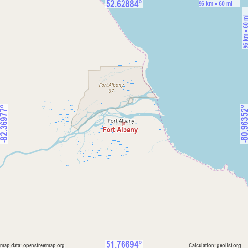
Fort Albany GPS coordinates[2]
52° 11' 59.928" North, 81° 39' 59.904" West
| Map corner | latitude | longitude |
|---|---|---|
| Upper-left | 52.62884°, | -82.36977° |
| Center: | 52.19998°, | -81.66664° |
| Lower-right: | 51.76694°, | -80.96352° |
| Map W x H: | 95.8×95.8 km | = 59.5×59.5mi |
| max Lat: | 73.03752° ⇑13.3% North |
| Fort Albany: | 52.19998° |
| min Lat: | ⇓86.7% South 42.05009° |
| min Long | Fort Albany | max Long |
| -139.43328° | -81.66664° | -52.70931° |
| W 38.7%⇐ | ⇒61.3% E |
Elevation
Elevation of Fort Albany is 11 m = 36 ft, and this is 243.4 m = 799 ft below average elevation for this country.
| Max E: |
1518 m = 4980 ft | 92.7% |
| Avg. | 254.4 m = 835 ft | |
| Fort Albany | 11 m = 36 ft | |
Min E: |
-2 m = -7 ft | 7.3% |
See also: Canada elevation on elevation.city.
Geographical zone
Fort Albany is located in North temperate zone (between Tropic of Cancer and the Arctic Circle). Distance of this North polar circle is 1597.1 km =992.4 mi to North.| Distance of | km | miles | from Fort Albany |
|---|---|---|---|
| North Pole | 4203 | 2611.6 | to North |
| Arctic Circle | 1597.1 | 992.4 | to North |
| Tropic Cancer | 3198.2 | 1987.3 | to South |
| Equator | 5804.1 | 3606.5 | to South |


Nearby cities:
8 places around Fort Albany: (largest is in red/bold)
• Attawapiskat
95.5 km =59.3 mi,  327°
327°
• Hearst
312.9 km =194.4 mi,  206°
206°
• Iroquois Falls
388 km =241.1 mi,  169°
169°
• Kapuskasing
314.1 km =195.2 mi,  189°
189°
• Moose Factory
126.5 km =78.6 mi,  145°
145°
• Moosonee
124.6 km =77.4 mi, 145°
• Timmins
415.8 km =258.4 mi,  176°
176°
• Waskaganish
215.6 km =134 mi,  111°
111°
Sources, notices
• [Note1] Compared only with cities in Canada existing in our database
• [Src1] Map data: © OpenStreetMap contributors (CC-BY-SA)
• [Src2] Other city data from geonames.org with taken over terms of usage.
• [Src3] Geographical zone / Annual Mean Temperature by Robert A. Rohde @ Wikipedia
