Gravelbourg geodata
Gravelbourg (Saskatchewan) is a populated place; located in Canada in America/Regina (GMT-6) time zone. With population of 1,109 people, there are 996 cities with bigger population in this country. Compared to other cities in Canada, 74.8% of cities are located further ↓South; 73.1% of cities are located further →East and 91.8% of cities have lower elevation than Gravelbourg. Note1


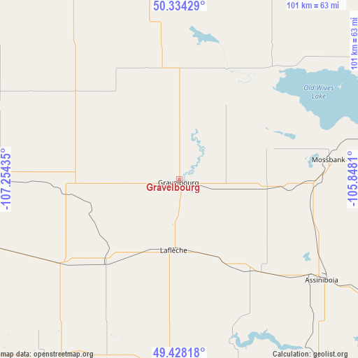
Gravelbourg GPS coordinates[2]
49° 53' 0.096" North, 106° 33' 4.392" West
| Map corner | latitude | longitude |
|---|---|---|
| Upper-left | 50.33429°, | -107.25435° |
| Center: | 49.88336°, | -106.55122° |
| Lower-right: | 49.42818°, | -105.8481° |
| Map W x H: | 100.7×100.7 km | = 62.6×62.6mi |
| max Lat: | 73.03752° ⇑25.2% North |
| Gravelbourg: | 49.88336° |
| min Lat: | ⇓74.8% South 42.05009° |
| min Long | Gravelbourg | max Long |
| -139.43328° | -106.55122° | -52.70931° |
| W 26.9%⇐ | ⇒73.1% E |
Elevation
Elevation of Gravelbourg is 699 m = 2293 ft, and this is 444.6 m = 1459 ft above average elevation for this country.
| Max E: |
1518 m = 4980 ft | 8.2% |
| Gravelbourg | 699 m 2293 ft | |
| Avg. | 254.4 m = 835 ft | |
Min E: |
-2 m = -7 ft | 91.8% |
See also: Canada elevation on elevation.city.
Geographical zone
Gravelbourg is located in North temperate zone (between Tropic of Cancer and the Arctic Circle). Distance of this North polar circle is 1854.7 km =1152.5 mi to North.| Distance of | km | miles | from Gravelbourg |
|---|---|---|---|
| North Pole | 4460.6 | 2771.7 | to North |
| Arctic Circle | 1854.7 | 1152.5 | to North |
| Tropic Cancer | 2940.6 | 1827.2 | to South |
| Equator | 5546.5 | 3446.4 | to South |


Nearby cities:
15 places around Gravelbourg: (largest is in red/bold)
• Assiniboia
49.3 km =30.6 mi,  124°
124°
• Caronport
81.8 km =50.8 mi,  39°
39°
• Davidson
158.9 km =98.7 mi,  14°
14°
• Eston
209.8 km =130.4 mi,  312°
312°
• Gull Lake
140.3 km =87.2 mi,  279°
279°
• Lumsden
146.9 km =91.3 mi,  54°
54°
• Moose Jaw
92.5 km =57.5 mi, 51°
• Outlook
183.2 km =113.8 mi,  348°
348°
• Pilot Butte
165.2 km =102.7 mi,  66°
66°
• Regina
151.4 km =94.1 mi, 65°
• Regina Beach
148.7 km =92.4 mi, 47°
• Shaunavon
136.6 km =84.9 mi,  259°
259°
• Swift Current
99.7 km =62 mi,  296°
296°
• Weyburn
195.4 km =121.4 mi,  97°
97°
• White City
167.1 km =103.8 mi, 68°
Sources, notices
• [Note1] Compared only with cities in Canada existing in our database
• [Src1] Map data: © OpenStreetMap contributors (CC-BY-SA)
• [Src2] Other city data from geonames.org with taken over terms of usage.
• [Src3] Geographical zone / Annual Mean Temperature by Robert A. Rohde @ Wikipedia
