Hartland geodata
Hartland (New Brunswick) is a populated place; located in Canada in America/Moncton (GMT-3) time zone. With population of 902 people, there are 1074 cities with bigger population in this country. Compared to other cities in Canada, 57.7% of cities are located further ↑North; 85.6% of cities are located further ←West and 59.7% of cities have higher elevation than Hartland. Note1


Hartland GPS coordinates[2]
46° 17' 59.496" North, 67° 31' 0.084" West
| Map corner | latitude | longitude |
|---|---|---|
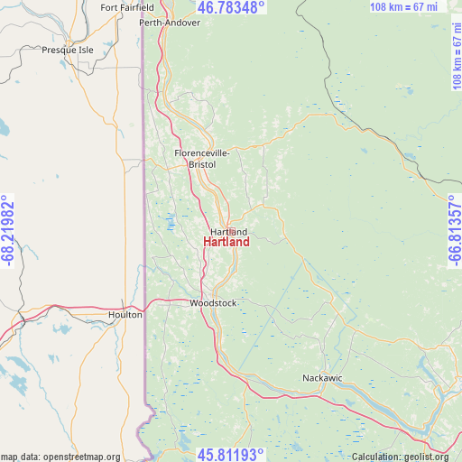
| Upper-left | 46.78348°, | -68.21982° |
| Center: | 46.29986°, | -67.51669° |
| Lower-right: | 45.81193°, | -66.81357° |
| Map W x H: | 108×108 km | = 67.1×67.1mi |
| max Lat: | 73.03752° ⇑57.7% North |
| Hartland: | 46.29986° |
| min Lat: | ⇓42.3% South 42.05009° |
| min Long | Hartland | max Long |
| -139.43328° | -67.51669° | -52.70931° |
| W 85.6%⇐ | ⇒14.4% E |
Elevation
Elevation of Hartland is 101 m = 331 ft, and this is 153.4 m = 503 ft below average elevation for this country.
| Max E: |
1518 m = 4980 ft | 59.7% |
| Avg. | 254.4 m = 835 ft | |
| Hartland | 101 m = 331 ft | |
Min E: |
-2 m = -7 ft | 40.3% |
See also: Canada elevation on elevation.city.
Geographical zone
Hartland is located in North temperate zone (between Tropic of Cancer and the Arctic Circle). Distance of this North polar circle is 2253.1 km =1400 mi to North.| Distance of | km | miles | from Hartland |
|---|---|---|---|
| North Pole | 4859 | 3019.2 | to North |
| Arctic Circle | 2253.1 | 1400 | to North |
| Tropic Cancer | 2542.1 | 1579.6 | to South |
| Equator | 5148.1 | 3198.9 | to South |


Nearby cities:
15 places around Hartland: (largest is in red/bold)
• Carlisle Road
67.9 km =42.2 mi,  120°
120°
• Edmundston
134.3 km =83.5 mi,  332°
332°
• Florenceville-Bristol
17.7 km =11 mi, 334°
• Fredericton
76.5 km =47.5 mi, 120°
• Harrison Brook
106.3 km =66.1 mi,  342°
342°
• Keswick Ridge
59.2 km =36.8 mi, 124°
• Lincoln
84.7 km =52.6 mi, 121°
• Nackawic
39.9 km =24.8 mi,  147°
147°
• New Maryland
80.4 km =50 mi,  125°
125°
• Noonan
84.4 km =52.4 mi, 116°
• Oromocto
95.3 km =59.2 mi, 122°
• Pepper Creek
81.1 km =50.4 mi, 118°
• Saint-Basile
134.3 km =83.5 mi, 334°
• Saint-Léonard
100.9 km =62.7 mi, 342°
• Starlight Village
74 km =46 mi, 128°
Sources, notices
• [Note1] Compared only with cities in Canada existing in our database
• [Src1] Map data: © OpenStreetMap contributors (CC-BY-SA)
• [Src2] Other city data from geonames.org with taken over terms of usage.
• [Src3] Geographical zone / Annual Mean Temperature by Robert A. Rohde @ Wikipedia
