Udligenswil geodata
Udligenswil (Lucerne) is a populated place; located in Switzerland in Europe/Zurich (GMT+2) time zone. With population of 2,252 people, there are 757 cities with bigger population in this country. Compared to other cities in Switzerland, 59.4% of cities are located further ↑North; 50.1% of cities are located further →East and 75.3% of cities have lower elevation than Udligenswil. Note1


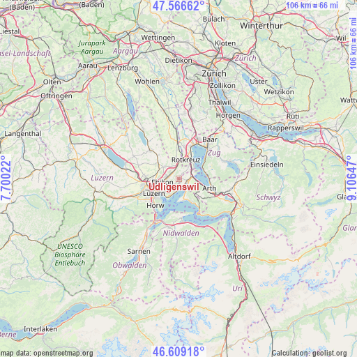
Udligenswil GPS coordinates[2]
47° 5' 24.18" North, 8° 24' 12.06" East
| Map corner | latitude | longitude |
|---|---|---|
| Upper-left | 47.56662°, | 7.70022° |
| Center: | 47.09005°, | 8.40335° |
| Lower-right: | 46.60918°, | 9.10647° |
| Map W x H: | 106.5×106.5 km | = 66.2×66.2mi |
| max Lat: | 47.76737° ⇑59.4% North |
| Udligenswil: | 47.09005° |
| min Lat: | ⇓40.6% South 45.83203° |
| min Long | Udligenswil | max Long |
| 5.97153° | 8.40335° | 10.44624° |
| W 49.9%⇐ | ⇒50.1% E |
Elevation
Elevation of Udligenswil is 621 m = 2037 ft, and this is 62.8 m = 206 ft above average elevation for this country.
| Max E: |
1845 m = 6053 ft | 24.7% |
| Udligenswil | 621 m 2037 ft | |
| Avg. | 558.2 m = 1831 ft | |
Min E: |
197 m = 646 ft | 75.3% |
See also: Switzerland elevation on elevation.city.
Geographical zone
Udligenswil is located in North temperate zone (between Tropic of Cancer and the Arctic Circle). Distance of this North polar circle is 2165.3 km =1345.5 mi to North.| Distance of | km | miles | from Udligenswil |
|---|---|---|---|
| North Pole | 4771.1 | 2964.6 | to North |
| Arctic Circle | 2165.3 | 1345.5 | to North |
| Tropic Cancer | 2630 | 1634.2 | to South |
| Equator | 5235.9 | 3253.4 | to South |


Nearby cities:
15 places around Udligenswil: (largest is in red/bold)
• Adligenswil
4.2 km =2.6 mi,  229°
229°
• Buchrain
4.3 km =2.7 mi,  279°
279°
• Dietwil
6.3 km =3.9 mi,  353°
353°
• Ebikon
4.9 km =3 mi,  256°
256°
• Greppen
4.4 km =2.7 mi,  153°
153°
• Inwil
5.7 km =3.5 mi,  313°
313°
• Küssnacht
3 km =1.9 mi,  99°
99°
• Luzern
8.6 km =5.3 mi,  239°
239°
• Meggen
5.3 km =3.3 mi,  204°
204°
• Meierskappel
4.9 km =3 mi,  37°
37°
• Oberrüti
8.6 km =5.3 mi,  355°
355°
• Root
2.9 km =1.8 mi,  339°
339°
• Rotkreuz
6.2 km =3.9 mi,  19°
19°
• Walchwil
8.7 km =5.4 mi,  81°
81°
• Weggis
6.8 km =4.2 mi,  161°
161°
Sources, notices
• [Note1] Compared only with cities in Switzerland existing in our database
• [Src1] Map data: © OpenStreetMap contributors (CC-BY-SA)
• [Src2] Other city data from geonames.org with taken over terms of usage.
• [Src3] Geographical zone / Annual Mean Temperature by Robert A. Rohde @ Wikipedia
