Oberrüti geodata
Oberrüti (Aargau) is a populated place; located in Switzerland in Europe/Zurich (GMT+2) time zone. With population of 1,268 people, there are 1153 cities with bigger population in this country. Compared to other cities in Switzerland, 55.4% of cities are located further ↑North; 50.5% of cities are located further →East and 82.9% of cities have higher elevation than Oberrüti. Note1


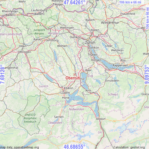
Oberrüti GPS coordinates[2]
47° 10' 0.228" North, 8° 23' 39.876" East
| Map corner | latitude | longitude |
|---|---|---|
| Upper-left | 47.64261°, | 7.69128° |
| Center: | 47.16673°, | 8.39441° |
| Lower-right: | 46.68655°, | 9.09753° |
| Map W x H: | 106.3×106.3 km | = 66.1×66.1mi |
| max Lat: | 47.76737° ⇑55.4% North |
| Oberrüti: | 47.16673° |
| min Lat: | ⇓44.6% South 45.83203° |
| min Long | Oberrüti | max Long |
| 5.97153° | 8.39441° | 10.44624° |
| W 49.5%⇐ | ⇒50.5% E |
Elevation
Elevation of Oberrüti is 415 m = 1362 ft, and this is 143.2 m = 470 ft below average elevation for this country.
| Max E: |
1845 m = 6053 ft | 82.9% |
| Avg. | 558.2 m = 1831 ft | |
| Oberrüti | 415 m = 1362 ft | |
Min E: |
197 m = 646 ft | 17.1% |
See also: Switzerland elevation on elevation.city.
Geographical zone
Oberrüti is located in North temperate zone (between Tropic of Cancer and the Arctic Circle). Distance of this North polar circle is 2156.7 km =1340.1 mi to North.| Distance of | km | miles | from Oberrüti |
|---|---|---|---|
| North Pole | 4762.6 | 2959.3 | to North |
| Arctic Circle | 2156.7 | 1340.1 | to North |
| Tropic Cancer | 2638.5 | 1639.5 | to South |
| Equator | 5244.4 | 3258.7 | to South |


Nearby cities:
15 places around Oberrüti: (largest is in red/bold)
• Auw
5.4 km =3.4 mi,  336°
336°
• Ballwil
5.6 km =3.5 mi,  255°
255°
• Cham
5.5 km =3.4 mi,  71°
71°
• Dietwil
2.2 km =1.4 mi,  181°
181°
• Hochdorf
7.8 km =4.8 mi,  271°
271°
• Hohenrain
6 km =3.7 mi,  285°
285°
• Hünenberg
2.5 km =1.6 mi, 67°
• Inwil
5.8 km =3.6 mi,  216°
216°
• Knonau
8.1 km =5 mi,  38°
38°
• Meierskappel
5.9 km =3.7 mi,  141°
141°
• Mühlau
6.9 km =4.3 mi,  356°
356°
• Root
5.8 km =3.6 mi, 183°
• Rotkreuz
3.9 km =2.4 mi,  133°
133°
• Sins
2.9 km =1.8 mi, 359°
• Steinhausen
7.6 km =4.7 mi, 65°
Sources, notices
• [Note1] Compared only with cities in Switzerland existing in our database
• [Src1] Map data: © OpenStreetMap contributors (CC-BY-SA)
• [Src2] Other city data from geonames.org with taken over terms of usage.
• [Src3] Geographical zone / Annual Mean Temperature by Robert A. Rohde @ Wikipedia
