Pregassona geodata
Pregassona (Ticino) is a populated place; located in Switzerland in Europe/Zurich (GMT+2) time zone. With population of 7,548 people, there are 217 cities with bigger population in this country. Compared to other cities in Switzerland, 98.3% of cities are located further ↑North; 87.2% of cities are located further ←West and 94% of cities have higher elevation than Pregassona. Note1


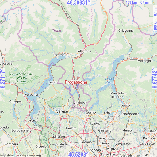
Pregassona GPS coordinates[2]
46° 1' 12.756" North, 8° 58' 27.444" East
| Map corner | latitude | longitude |
|---|---|---|
| Upper-left | 46.50631°, | 8.27117° |
| Center: | 46.02021°, | 8.97429° |
| Lower-right: | 45.5298°, | 9.67742° |
| Map W x H: | 108.6×108.6 km | = 67.5×67.5mi |
| max Lat: | 47.76737° ⇑98.3% North |
| Pregassona: | 46.02021° |
| min Lat: | ⇓1.7% South 45.83203° |
| min Long | Pregassona | max Long |
| 5.97153° | 8.97429° | 10.44624° |
| W 87.2%⇐ | ⇒12.8% E |
Elevation
Elevation of Pregassona is 373 m = 1224 ft, and this is 185.2 m = 608 ft below average elevation for this country.
| Max E: |
1845 m = 6053 ft | 94% |
| Avg. | 558.2 m = 1831 ft | |
| Pregassona | 373 m = 1224 ft | |
Min E: |
197 m = 646 ft | 6% |
See also: Switzerland elevation on elevation.city.
Geographical zone
Pregassona is located in North temperate zone (between Tropic of Cancer and the Arctic Circle). Distance of this North polar circle is 2284.2 km =1419.3 mi to North.| Distance of | km | miles | from Pregassona |
|---|---|---|---|
| North Pole | 4890.1 | 3038.6 | to North |
| Arctic Circle | 2284.2 | 1419.3 | to North |
| Tropic Cancer | 2511 | 1560.3 | to South |
| Equator | 5117 | 3179.6 | to South |


Nearby cities:
15 places around Pregassona: (largest is in red/bold)
• Agno
6.2 km =3.9 mi,  247°
247°
• Bioggio
4.9 km =3 mi,  261°
261°
• Cadempino
3.6 km =2.2 mi,  300°
300°
• Cadro
3 km =1.9 mi,  19°
19°
• Cagiallo
5.2 km =3.2 mi,  359°
359°
• Canobbio
1.9 km =1.2 mi,  339°
339°
• Comano
2.3 km =1.4 mi,  320°
320°
• Gravesano
5 km =3.1 mi, 299°
• Lugano
1.6 km =1 mi,  224°
224°
• Massagno
2.5 km =1.6 mi, 250°
• Montagnola
6 km =3.7 mi,  226°
226°
• Savosa
2.5 km =1.6 mi,  266°
266°
• Sorengo
3.8 km =2.4 mi, 228°
• Tesserete
5.4 km =3.4 mi,  352°
352°
• Viganello
0.9 km =0.6 mi,  209°
209°
Sources, notices
• [Note1] Compared only with cities in Switzerland existing in our database
• [Src1] Map data: © OpenStreetMap contributors (CC-BY-SA)
• [Src2] Other city data from geonames.org with taken over terms of usage.
• [Src3] Geographical zone / Annual Mean Temperature by Robert A. Rohde @ Wikipedia
