Bäretswil geodata
Bäretswil (Zurich) is a populated place; located in Switzerland in Europe/Zurich (GMT+2) time zone. With population of 1,313 people, there are 1129 cities with bigger population in this country. Compared to other cities in Switzerland, 63.2% of cities are located further ↓South; 83.4% of cities are located further ←West and 82.7% of cities have lower elevation than Bäretswil. Note1


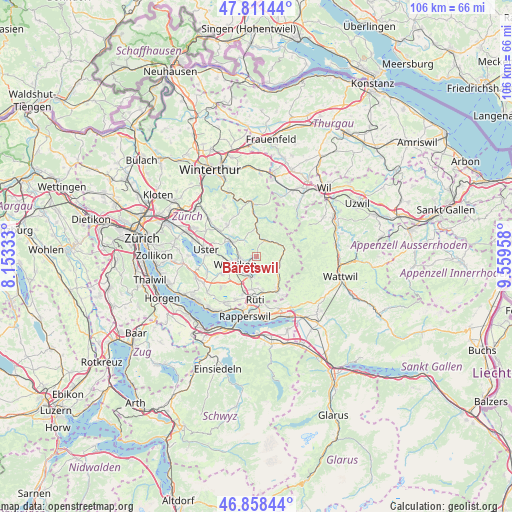
Bäretswil GPS coordinates[2]
47° 20' 13.524" North, 8° 51' 23.22" East
| Map corner | latitude | longitude |
|---|---|---|
| Upper-left | 47.81144°, | 8.15333° |
| Center: | 47.33709°, | 8.85645° |
| Lower-right: | 46.85844°, | 9.55958° |
| Map W x H: | 106×106 km | = 65.9×65.9mi |
| max Lat: | 47.76737° ⇑36.8% North |
| Bäretswil: | 47.33709° |
| min Lat: | ⇓63.2% South 45.83203° |
| min Long | Bäretswil | max Long |
| 5.97153° | 8.85645° | 10.44624° |
| W 83.4%⇐ | ⇒16.6% E |
Elevation
Elevation of Bäretswil is 702 m = 2303 ft, and this is 143.8 m = 472 ft above average elevation for this country.
| Max E: |
1845 m = 6053 ft | 17.3% |
| Bäretswil | 702 m 2303 ft | |
| Avg. | 558.2 m = 1831 ft | |
Min E: |
197 m = 646 ft | 82.7% |
See also: Switzerland elevation on elevation.city.
Geographical zone
Bäretswil is located in North temperate zone (between Tropic of Cancer and the Arctic Circle). Distance of this North polar circle is 2137.8 km =1328.4 mi to North.| Distance of | km | miles | from Bäretswil |
|---|---|---|---|
| North Pole | 4743.7 | 2947.6 | to North |
| Arctic Circle | 2137.8 | 1328.4 | to North |
| Tropic Cancer | 2657.5 | 1651.3 | to South |
| Equator | 5263.4 | 3270.5 | to South |


Nearby cities:
15 places around Bäretswil: (largest is in red/bold)
• Adetswil
1.3 km =0.8 mi,  283°
283°
• Altlandenberg
4 km =2.5 mi,  12°
12°
• Bauma
3.8 km =2.4 mi,  26°
26°
• Hinwil
4.9 km =3 mi,  191°
191°
• Hittnau / Hittnau (Dorf)
3.8 km =2.4 mi,  320°
320°
• Oberhittnau
3.4 km =2.1 mi,  314°
314°
• Oberkempten
2.9 km =1.8 mi,  250°
250°
• Weid (bei Adetswil)
0.6 km =0.4 mi,  300°
300°
• Wernetshausen
4.3 km =2.7 mi,  171°
171°
• Wetzikon
4.6 km =2.9 mi, 254°
• Wetzikon / Kempten
3.5 km =2.2 mi,  262°
262°
• Wetzikon / Ober-Wetzikon
4.5 km =2.8 mi, 252°
• Wetzikon / Robenhausen
5.2 km =3.2 mi, 262°
• Wetzikon / Unter-Wetzikon
5.3 km =3.3 mi,  244°
244°
• Widum
5 km =3.1 mi, 258°
Sources, notices
• [Note1] Compared only with cities in Switzerland existing in our database
• [Src1] Map data: © OpenStreetMap contributors (CC-BY-SA)
• [Src2] Other city data from geonames.org with taken over terms of usage.
• [Src3] Geographical zone / Annual Mean Temperature by Robert A. Rohde @ Wikipedia
