Zhongzhai geodata
Zhongzhai (Gansu) is a seat of a fourth-order administrative division; located in China in Asia/Shanghai (GMT+8) time zone. In our database, there are 1268 cities with bigger population. Compared to other cities in China, 73.5% of cities are located further ↓South; 90.4% of cities are located further →East and 95.3% of cities have lower elevation than Zhongzhai. Note1


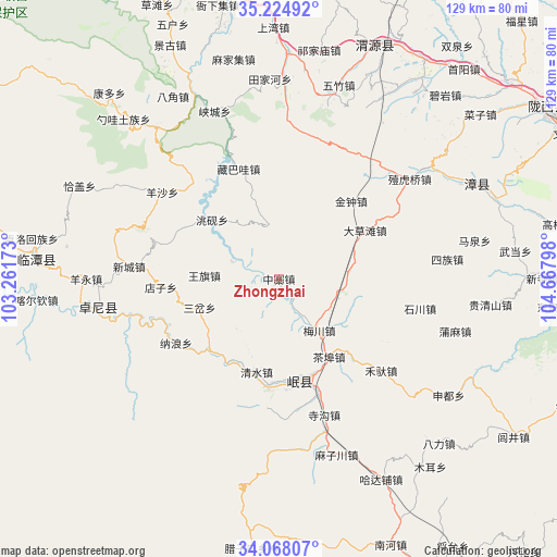
Zhongzhai GPS coordinates[2]
34° 38' 54.636" North, 103° 57' 53.46" East
| Map corner | latitude | longitude |
|---|---|---|
| Upper-left | 35.22492°, | 103.26173° |
| Center: | 34.64851°, | 103.96485° |
| Lower-right: | 34.06807°, | 104.66798° |
| Map W x H: | 128.6×128.6 km | = 79.9×79.9mi |
| max Lat: | 53.31946° ⇑26.5% North |
| Zhongzhai: | 34.64851° |
| min Lat: | ⇓73.5% South 18.22056° |
| min Long | Zhongzhai | max Long |
| 75.07348° | 103.96485° | 134.28917° |
| W 9.6%⇐ | ⇒90.4% E |
Elevation
Elevation of Zhongzhai is 2235 m = 7333 ft, and this is 1750.2 m = 5742 ft above average elevation for this country.
| Max E: |
5622 m = 18445 ft | 4.7% |
| Zhongzhai | 2235 m 7333 ft | |
| Avg. | 484.8 m = 1591 ft | |
Min E: |
-3 m = -10 ft | 95.3% |
See also: China elevation on elevation.city.
Geographical zone
Zhongzhai is located in North temperate zone (between Tropic of Cancer and the Arctic Circle). Distance of this Northern Tropic circle is 1246.6 km =774.6 mi to South.| Distance of | km | miles | from Zhongzhai |
|---|---|---|---|
| North Pole | 6154.5 | 3824.2 | to North |
| Arctic Circle | 3548.6 | 2205 | to North |
| Tropic Cancer | 1246.6 | 774.6 | to South |
| Equator | 3852.6 | 2393.9 | to South |


Nearby cities:
15 places around Zhongzhai: (largest is in red/bold)
• Bailin
12.9 km =8 mi,  349°
349°
• Baozi
8.2 km =5.1 mi,  287°
287°
• Chabu
21.6 km =13.4 mi,  146°
146°
• Chengjiao Chengguanzhen
24.4 km =15.2 mi,  165°
165°
• Chengjiao Zhen
24.7 km =15.3 mi,  163°
163°
• Chenqi
11.9 km =7.4 mi, 290°
• Longyuan
17.3 km =10.7 mi,  272°
272°
• Meichuan Zhen
15 km =9.3 mi,  143°
143°
• Minshan
23.5 km =14.6 mi,  177°
177°
• Qingshui
21.8 km =13.5 mi,  195°
195°
• Sancha
19.8 km =12.3 mi,  249°
249°
• Weixin
9 km =5.6 mi,  283°
283°
• Xiaozhai
4.5 km =2.8 mi,  103°
103°
• Xijiang
9.8 km =6.1 mi, 158°
• Xizhai
22.8 km =14.2 mi,  220°
220°
Sources, notices
• [Note1] Compared only with cities in China existing in our database
• [Src1] Map data: © OpenStreetMap contributors (CC-BY-SA)
• [Src2] Other city data from geonames.org with taken over terms of usage.
• [Src3] Geographical zone / Annual Mean Temperature by Robert A. Rohde @ Wikipedia
