Panfeng geodata
Panfeng (Zhejiang) is a seat of a fourth-order administrative division; located in China in Asia/Shanghai (GMT+8) time zone. In our database, there are 1268 cities with bigger population. Compared to other cities in China, 66% of cities are located further ↑North; 85.3% of cities are located further ←West and 70.9% of cities have lower elevation than Panfeng. Note1


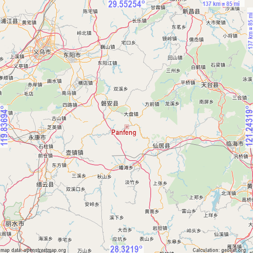
Panfeng GPS coordinates[2]
28° 56' 20.58" North, 120° 32' 24.216" East
| Map corner | latitude | longitude |
|---|---|---|
| Upper-left | 29.55254°, | 119.83694° |
| Center: | 28.93905°, | 120.54006° |
| Lower-right: | 28.3219°, | 121.24319° |
| Map W x H: | 136.8×136.8 km | = 85×85mi |
| max Lat: | 53.31946° ⇑66% North |
| Panfeng: | 28.93905° |
| min Lat: | ⇓34% South 18.22056° |
| min Long | Panfeng | max Long |
| 75.07348° | 120.54006° | 134.28917° |
| W 85.3%⇐ | ⇒14.7% E |
Elevation
Elevation of Panfeng is 428 m = 1404 ft, and this is 56.8 m = 186 ft below average elevation for this country.
| Max E: |
5622 m = 18445 ft | 29.1% |
| Avg. | 484.8 m = 1591 ft | |
| Panfeng | 428 m = 1404 ft | |
Min E: |
-3 m = -10 ft | 70.9% |
See also: China elevation on elevation.city.
Geographical zone
Panfeng is located in North temperate zone (between Tropic of Cancer and the Arctic Circle). Distance of this Northern Tropic circle is 611.8 km =380.2 mi to South.| Distance of | km | miles | from Panfeng |
|---|---|---|---|
| North Pole | 6789.3 | 4218.7 | to North |
| Arctic Circle | 4183.5 | 2599.5 | to North |
| Tropic Cancer | 611.8 | 380.2 | to South |
| Equator | 3217.7 | 1999.4 | to South |


Nearby cities:
15 places around Panfeng: (largest is in red/bold)
• Anwen
16.7 km =10.4 mi,  323°
323°
• Anzhou
18.5 km =11.5 mi,  111°
111°
• Butou
20.7 km =12.9 mi,  185°
185°
• Fangqian
18.5 km =11.5 mi,  47°
47°
• Fuying
19.4 km =12.1 mi,  115°
115°
• Gao’er
4.3 km =2.7 mi, 113°
• Guangdu
19.8 km =12.3 mi,  85°
85°
• Guanlu
16.5 km =10.3 mi,  135°
135°
• Lengshui
19.4 km =12.1 mi,  257°
257°
• Pan’an
16.2 km =10.1 mi, 321°
• Shuangfeng
8.2 km =5.1 mi, 258°
• Tianshi
19.6 km =12.2 mi,  153°
153°
• Weixin
7.2 km =4.5 mi,  95°
95°
• Xinwo
16.2 km =10.1 mi,  273°
273°
• Xuetian
7.6 km =4.7 mi,  16°
16°
Sources, notices
• [Note1] Compared only with cities in China existing in our database
• [Src1] Map data: © OpenStreetMap contributors (CC-BY-SA)
• [Src2] Other city data from geonames.org with taken over terms of usage.
• [Src3] Geographical zone / Annual Mean Temperature by Robert A. Rohde @ Wikipedia
