Junyang geodata
Junyang (Jiangxi) is a seat of a third-order administrative division; located in China in Asia/Shanghai (GMT+8) time zone. In our database, there are 1268 cities with bigger population. Compared to other cities in China, 70.4% of cities are located further ↑North; 56.2% of cities are located further ←West and 76.2% of cities have higher elevation than Junyang. Note1


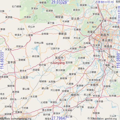
Junyang GPS coordinates[2]
28° 25' 0.012" North, 115° 22' 0.012" East
| Map corner | latitude | longitude |
|---|---|---|
| Upper-left | 29.03326°, | 114.66355° |
| Center: | 28.41667°, | 115.36667° |
| Lower-right: | 27.79647°, | 116.0698° |
| Map W x H: | 137.5×137.5 km | = 85.4×85.4mi |
| max Lat: | 53.31946° ⇑70.4% North |
| Junyang: | 28.41667° |
| min Lat: | ⇓29.6% South 18.22056° |
| min Long | Junyang | max Long |
| 75.07348° | 115.36667° | 134.28917° |
| W 56.2%⇐ | ⇒43.8% E |
Elevation
Elevation of Junyang is 34 m = 112 ft, and this is 450.8 m = 1479 ft below average elevation for this country.
| Max E: |
5622 m = 18445 ft | 76.2% |
| Avg. | 484.8 m = 1591 ft | |
| Junyang | 34 m = 112 ft | |
Min E: |
-3 m = -10 ft | 23.8% |
See also: China elevation on elevation.city.
Geographical zone
Junyang is located in North temperate zone (between Tropic of Cancer and the Arctic Circle). Distance of this Northern Tropic circle is 553.7 km =344.1 mi to South.| Distance of | km | miles | from Junyang |
|---|---|---|---|
| North Pole | 6847.4 | 4254.8 | to North |
| Arctic Circle | 4241.5 | 2635.5 | to North |
| Tropic Cancer | 553.7 | 344.1 | to South |
| Equator | 3159.6 | 1963.3 | to South |


Nearby cities:
15 places around Junyang: (largest is in red/bold)
• Dacheng
20.1 km =12.5 mi,  47°
47°
• Dongjia
21.2 km =13.2 mi,  138°
138°
• Heling
8.3 km =5.2 mi,  148°
148°
• Huangcheng
20.1 km =12.5 mi,  108°
108°
• Huangshagang
11.2 km =7 mi,  179°
179°
• Huibu
17.7 km =11 mi,  219°
219°
• Lanfangzhen
10.1 km =6.3 mi,  103°
103°
• Longtan
12.9 km =8 mi,  258°
258°
• Shanghu
8.7 km =5.4 mi,  206°
206°
• Shinao
8 km =5 mi,  248°
248°
• Wangjiaxu
14.7 km =9.1 mi,  337°
337°
• Xiangfu
9 km =5.6 mi,  43°
43°
• Xinjie
20.9 km =13 mi,  168°
168°
• Xinjiezhen
20.9 km =13 mi, 168°
• Yangxu
21 km =13 mi, 255°
Sources, notices
• [Note1] Compared only with cities in China existing in our database
• [Src1] Map data: © OpenStreetMap contributors (CC-BY-SA)
• [Src2] Other city data from geonames.org with taken over terms of usage.
• [Src3] Geographical zone / Annual Mean Temperature by Robert A. Rohde @ Wikipedia
