Longtan geodata
Longtan (Jiangxi) is a seat of a fourth-order administrative division; located in China in Asia/Shanghai (GMT+8) time zone. In our database, there are 1268 cities with bigger population. Compared to other cities in China, 70.7% of cities are located further ↑North; 55.5% of cities are located further ←West and 72.7% of cities have higher elevation than Longtan. Note1


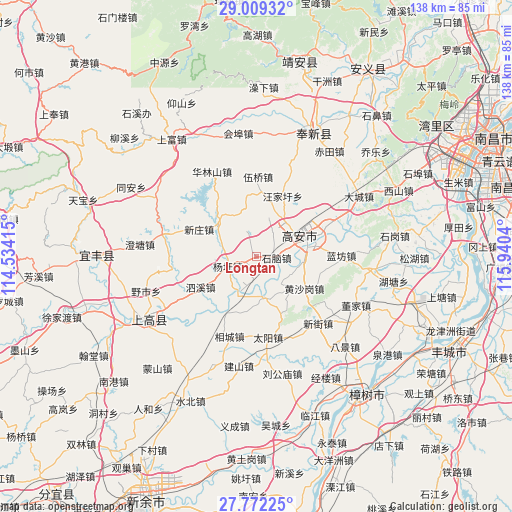
Longtan GPS coordinates[2]
28° 23' 33.324" North, 115° 14' 14.172" East
| Map corner | latitude | longitude |
|---|---|---|
| Upper-left | 29.00932°, | 114.53415° |
| Center: | 28.39259°, | 115.23727° |
| Lower-right: | 27.77225°, | 115.9404° |
| Map W x H: | 137.5×137.6 km | = 85.4×85.5mi |
| max Lat: | 53.31946° ⇑70.7% North |
| Longtan: | 28.39259° |
| min Lat: | ⇓29.3% South 18.22056° |
| min Long | Longtan | max Long |
| 75.07348° | 115.23727° | 134.28917° |
| W 55.5%⇐ | ⇒44.5% E |
Elevation
Elevation of Longtan is 43 m = 141 ft, and this is 441.8 m = 1449 ft below average elevation for this country.
| Max E: |
5622 m = 18445 ft | 72.7% |
| Avg. | 484.8 m = 1591 ft | |
| Longtan | 43 m = 141 ft | |
Min E: |
-3 m = -10 ft | 27.3% |
See also: China elevation on elevation.city.
Geographical zone
Longtan is located in North temperate zone (between Tropic of Cancer and the Arctic Circle). Distance of this Northern Tropic circle is 551 km =342.4 mi to South.| Distance of | km | miles | from Longtan |
|---|---|---|---|
| North Pole | 6850.1 | 4256.5 | to North |
| Arctic Circle | 4244.2 | 2637.2 | to North |
| Tropic Cancer | 551 | 342.4 | to South |
| Equator | 3157 | 1961.7 | to South |


Nearby cities:
15 places around Longtan: (largest is in red/bold)
• Cunqian
13.4 km =8.3 mi,  309°
309°
• Heling
17.5 km =10.9 mi,  104°
104°
• Huangshagang
15.3 km =9.5 mi,  123°
123°
• Huibu
11 km =6.8 mi,  172°
172°
• Junyang
12.9 km =8 mi,  78°
78°
• Lanfangzhen
22.5 km =14 mi,  89°
89°
• Shanghu
10.2 km =6.3 mi, 120°
• Shinao
5.2 km =3.2 mi, 92°
• Sixi
17.6 km =10.9 mi,  239°
239°
• Taiyang
21.9 km =13.6 mi, 172°
• Wangjiaxu
17.7 km =11 mi,  23°
23°
• Wuqiao
21.4 km =13.3 mi,  1°
1°
• Xiangfu
21 km =13 mi,  64°
64°
• Xinzhuang
17.1 km =10.6 mi,  295°
295°
• Yangxu
8.1 km =5 mi,  251°
251°
Sources, notices
• [Note1] Compared only with cities in China existing in our database
• [Src1] Map data: © OpenStreetMap contributors (CC-BY-SA)
• [Src2] Other city data from geonames.org with taken over terms of usage.
• [Src3] Geographical zone / Annual Mean Temperature by Robert A. Rohde @ Wikipedia
