Yongding geodata
Yongding (Yunnan) is a seat of a third-order administrative division; located in China in Asia/Shanghai (GMT+8) time zone. In our database, there are 1268 cities with bigger population. Compared to other cities in China, 85.5% of cities are located further ↑North; 92.4% of cities are located further →East and 93.9% of cities have lower elevation than Yongding. Note1


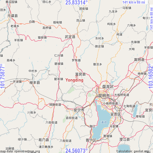
Yongding GPS coordinates[2]
25° 11' 54.96" North, 102° 27' 42.804" East
| Map corner | latitude | longitude |
|---|---|---|
| Upper-left | 25.83314°, | 101.75877° |
| Center: | 25.1986°, | 102.46189° |
| Lower-right: | 24.56073°, | 103.16502° |
| Map W x H: | 141.5×141.5 km | = 87.9×87.9mi |
| max Lat: | 53.31946° ⇑85.5% North |
| Yongding: | 25.1986° |
| min Lat: | ⇓14.5% South 18.22056° |
| min Long | Yongding | max Long |
| 75.07348° | 102.46189° | 134.28917° |
| W 7.6%⇐ | ⇒92.4% E |
Elevation
Elevation of Yongding is 1840 m = 6037 ft, and this is 1355.2 m = 4446 ft above average elevation for this country.
| Max E: |
5622 m = 18445 ft | 6.1% |
| Yongding | 1840 m 6037 ft | |
| Avg. | 484.8 m = 1591 ft | |
Min E: |
-3 m = -10 ft | 93.9% |
See also: China elevation on elevation.city.
Geographical zone
Yongding is located in North temperate zone (between Tropic of Cancer and the Arctic Circle). Distance of this Northern Tropic circle is 195.9 km =121.7 mi to South.| Distance of | km | miles | from Yongding |
|---|---|---|---|
| North Pole | 7205.2 | 4477.1 | to North |
| Arctic Circle | 4599.4 | 2857.9 | to North |
| Tropic Cancer | 195.9 | 121.7 | to South |
| Equator | 2801.8 | 1741 | to South |


Nearby cities:
15 places around Yongding: (largest is in red/bold)
• Ala
39.7 km =24.7 mi,  124°
124°
• Caopujie
30.4 km =18.9 mi,  195°
195°
• Gaoyao
28.7 km =17.8 mi,  145°
145°
• Jincheng
34.2 km =21.3 mi,  349°
349°
• Jinshan
37.7 km =23.4 mi,  255°
255°
• Kunming
31.3 km =19.4 mi, 124°
• Lianran
30.8 km =19.1 mi,  175°
175°
• Liujia
36.5 km =22.7 mi,  135°
135°
• Lubiaojie
31.5 km =19.6 mi,  218°
218°
• Majie
25.6 km =15.9 mi, 136°
• Pingshan
35.7 km =22.2 mi,  2°
2°
• Taiping
30.2 km =18.8 mi,  155°
155°
• Tuguan
38.6 km =24 mi, 223°
• Xianjie
38.1 km =23.7 mi,  186°
186°
• Xiaopingba
33.3 km =20.7 mi,  8°
8°
Sources, notices
• [Note1] Compared only with cities in China existing in our database
• [Src1] Map data: © OpenStreetMap contributors (CC-BY-SA)
• [Src2] Other city data from geonames.org with taken over terms of usage.
• [Src3] Geographical zone / Annual Mean Temperature by Robert A. Rohde @ Wikipedia
