Xinjie geodata
Xinjie (Anhui) is a seat of a fourth-order administrative division; located in China in Asia/Shanghai (GMT+8) time zone. In our database, there are 1268 cities with bigger population. Compared to other cities in China, 64.5% of cities are located further ↓South; 75.2% of cities are located further ←West and 74.4% of cities have higher elevation than Xinjie. Note1


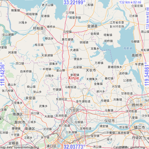
Xinjie GPS coordinates[2]
32° 37' 54.552" North, 118° 50' 43.728" East
| Map corner | latitude | longitude |
|---|---|---|
| Upper-left | 33.22199°, | 118.14236° |
| Center: | 32.63182°, | 118.84548° |
| Lower-right: | 32.03773°, | 119.54861° |
| Map W x H: | 131.7×131.7 km | = 81.8×81.8mi |
| max Lat: | 53.31946° ⇑35.5% North |
| Xinjie: | 32.63182° |
| min Lat: | ⇓64.5% South 18.22056° |
| min Long | Xinjie | max Long |
| 75.07348° | 118.84548° | 134.28917° |
| W 75.2%⇐ | ⇒24.8% E |
Elevation
Elevation of Xinjie is 38 m = 125 ft, and this is 446.8 m = 1466 ft below average elevation for this country.
| Max E: |
5622 m = 18445 ft | 74.4% |
| Avg. | 484.8 m = 1591 ft | |
| Xinjie | 38 m = 125 ft | |
Min E: |
-3 m = -10 ft | 25.6% |
See also: China elevation on elevation.city.
Geographical zone
Xinjie is located in North temperate zone (between Tropic of Cancer and the Arctic Circle). Distance of this Northern Tropic circle is 1022.4 km =635.3 mi to South.| Distance of | km | miles | from Xinjie |
|---|---|---|---|
| North Pole | 6378.7 | 3963.5 | to North |
| Arctic Circle | 3772.9 | 2344.4 | to North |
| Tropic Cancer | 1022.4 | 635.3 | to South |
| Equator | 3628.3 | 2254.5 | to South |


Nearby cities:
15 places around Xinjie: (largest is in red/bold)
• Babaiqiao
24.7 km =15.3 mi,  161°
161°
• Chajian
8.7 km =5.4 mi,  305°
305°
• Datong
21.8 km =13.5 mi,  359°
359°
• Jinji
22.3 km =13.9 mi,  111°
111°
• Maji
11.7 km =7.3 mi,  197°
197°
• Shiliang
7.2 km =4.5 mi,  21°
21°
• Tianchang
16.4 km =10.2 mi,  68°
68°
• Wanshou
24.3 km =15.1 mi,  64°
64°
• Yangcun
21.6 km =13.4 mi,  35°
35°
• Yeshan
14.6 km =9.1 mi,  154°
154°
• Yeshan
15.8 km =9.8 mi,  100°
100°
• Yongfeng
17.6 km =10.9 mi,  51°
51°
• Zhangpu
15.4 km =9.6 mi,  338°
338°
• Zhengji
10.2 km =6.3 mi, 113°
• Zhuzhen
20.3 km =12.6 mi,  230°
230°
Sources, notices
• [Note1] Compared only with cities in China existing in our database
• [Src1] Map data: © OpenStreetMap contributors (CC-BY-SA)
• [Src2] Other city data from geonames.org with taken over terms of usage.
• [Src3] Geographical zone / Annual Mean Temperature by Robert A. Rohde @ Wikipedia
