Xingping geodata
Xingping (Ningxia Hui Autonomous Region) is a seat of a fourth-order administrative division; located in China in Asia/Shanghai (GMT+8) time zone. In our database, there are 1268 cities with bigger population. Compared to other cities in China, 76.8% of cities are located further ↓South; 87.9% of cities are located further →East and 93.6% of cities have lower elevation than Xingping. Note1


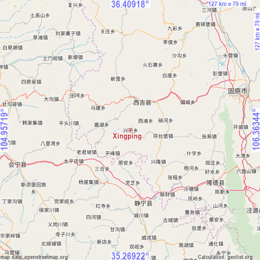
Xingping GPS coordinates[2]
35° 50' 28.5" North, 105° 39' 37.116" East
| Map corner | latitude | longitude |
|---|---|---|
| Upper-left | 36.40918°, | 104.95719° |
| Center: | 35.84125°, | 105.66031° |
| Lower-right: | 35.26922°, | 106.36344° |
| Map W x H: | 126.8×126.8 km | = 78.8×78.8mi |
| max Lat: | 53.31946° ⇑23.2% North |
| Xingping: | 35.84125° |
| min Lat: | ⇓76.8% South 18.22056° |
| min Long | Xingping | max Long |
| 75.07348° | 105.66031° | 134.28917° |
| W 12.1%⇐ | ⇒87.9% E |
Elevation
Elevation of Xingping is 1807 m = 5928 ft, and this is 1322.2 m = 4338 ft above average elevation for this country.
| Max E: |
5622 m = 18445 ft | 6.4% |
| Xingping | 1807 m 5928 ft | |
| Avg. | 484.8 m = 1591 ft | |
Min E: |
-3 m = -10 ft | 93.6% |
See also: China elevation on elevation.city.
Geographical zone
Xingping is located in North temperate zone (between Tropic of Cancer and the Arctic Circle). Distance of this Northern Tropic circle is 1379.3 km =857.1 mi to South.| Distance of | km | miles | from Xingping |
|---|---|---|---|
| North Pole | 6021.9 | 3741.8 | to North |
| Arctic Circle | 3416 | 2122.6 | to North |
| Tropic Cancer | 1379.3 | 857.1 | to South |
| Equator | 3985.2 | 2476.3 | to South |


Nearby cities:
15 places around Xingping: (largest is in red/bold)
• Bange
17.8 km =11.1 mi,  73°
73°
• Gongyi
17.6 km =10.9 mi,  161°
161°
• Jieshipu
27.9 km =17.3 mi,  203°
203°
• Jingning Chengguanzhen
36.1 km =22.4 mi,  170°
170°
• Laojunpo
24 km =14.9 mi,  244°
244°
• Liancai
36.1 km =22.4 mi,  150°
150°
• Malianchuan
24.1 km =15 mi,  98°
98°
• Piancheng
31.1 km =19.3 mi,  63°
63°
• Pingfeng
14.2 km =8.8 mi,  218°
218°
• Qingjiangyi
27 km =16.8 mi,  227°
227°
• Shenlin
37.6 km =23.4 mi,  140°
140°
• Wangmin
8.2 km =5.1 mi,  123°
123°
• Xinglong
20.4 km =12.7 mi, 138°
• Xitan
8.7 km =5.4 mi, 57°
• Yuan’an
15.7 km =9.8 mi,  188°
188°
Sources, notices
• [Note1] Compared only with cities in China existing in our database
• [Src1] Map data: © OpenStreetMap contributors (CC-BY-SA)
• [Src2] Other city data from geonames.org with taken over terms of usage.
• [Src3] Geographical zone / Annual Mean Temperature by Robert A. Rohde @ Wikipedia
