Yuan’an geodata
Yuan’an (Gansu) is a seat of a fourth-order administrative division; located in China in Asia/Shanghai (GMT+8) time zone. In our database, there are 1268 cities with bigger population. Compared to other cities in China, 76.5% of cities are located further ↓South; 88% of cities are located further →East and 94.4% of cities have lower elevation than Yuan’an. Note1


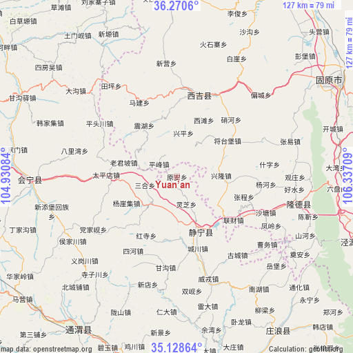
Yuan’an GPS coordinates[2]
35° 42' 5.976" North, 105° 38' 2.256" East
| Map corner | latitude | longitude |
|---|---|---|
| Upper-left | 36.2706°, | 104.93084° |
| Center: | 35.70166°, | 105.63396° |
| Lower-right: | 35.12864°, | 106.33709° |
| Map W x H: | 127×127 km | = 78.9×78.9mi |
| max Lat: | 53.31946° ⇑23.5% North |
| Yuan’an: | 35.70166° |
| min Lat: | ⇓76.5% South 18.22056° |
| min Long | Yuan’an | max Long |
| 75.07348° | 105.63396° | 134.28917° |
| W 12%⇐ | ⇒88% E |
Elevation
Elevation of Yuan’an is 1912 m = 6273 ft, and this is 1427.2 m = 4682 ft above average elevation for this country.
| Max E: |
5622 m = 18445 ft | 5.6% |
| Yuan’an | 1912 m 6273 ft | |
| Avg. | 484.8 m = 1591 ft | |
Min E: |
-3 m = -10 ft | 94.4% |
See also: China elevation on elevation.city.
Geographical zone
Yuan’an is located in North temperate zone (between Tropic of Cancer and the Arctic Circle). Distance of this Northern Tropic circle is 1363.7 km =847.4 mi to South.| Distance of | km | miles | from Yuan’an |
|---|---|---|---|
| North Pole | 6037.4 | 3751.5 | to North |
| Arctic Circle | 3431.5 | 2132.2 | to North |
| Tropic Cancer | 1363.7 | 847.4 | to South |
| Equator | 3969.7 | 2466.7 | to South |


Nearby cities:
15 places around Yuan’an: (largest is in red/bold)
• Bange
28.4 km =17.6 mi,  43°
43°
• Gongyi
8 km =5 mi,  98°
98°
• Jieshipu
13.3 km =8.3 mi,  220°
220°
• Jingning Chengguanzhen
21.7 km =13.5 mi,  158°
158°
• Laojunpo
19.9 km =12.4 mi,  284°
284°
• Liancai
25.8 km =16 mi,  127°
127°
• Malianchuan
28.8 km =17.9 mi,  65°
65°
• Pingfeng
7.9 km =4.9 mi,  304°
304°
• Qingjiangyi
17.8 km =11.1 mi,  261°
261°
• Shatang
34.5 km =21.4 mi,  112°
112°
• Shenlin
29.5 km =18.3 mi,  117°
117°
• Wangmin
14.4 km =8.9 mi, 39°
• Xinglong
15.9 km =9.9 mi,  89°
89°
• Xingping
15.7 km =9.8 mi,  8°
8°
• Xitan
22.5 km =14 mi,  25°
25°
Sources, notices
• [Note1] Compared only with cities in China existing in our database
• [Src1] Map data: © OpenStreetMap contributors (CC-BY-SA)
• [Src2] Other city data from geonames.org with taken over terms of usage.
• [Src3] Geographical zone / Annual Mean Temperature by Robert A. Rohde @ Wikipedia
