Xincheng geodata
Xincheng (Hubei) is a seat of a fourth-order administrative division; located in China in Asia/Shanghai (GMT+8) time zone. In our database, there are 1268 cities with bigger population. Compared to other cities in China, 63.3% of cities are located further ↓South; 56.3% of cities are located further →East and 53.8% of cities have lower elevation than Xincheng. Note1


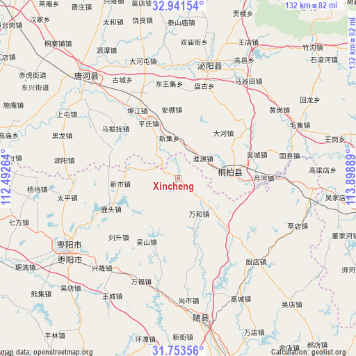
Xincheng GPS coordinates[2]
32° 20' 58.2" North, 113° 11' 44.736" East
| Map corner | latitude | longitude |
|---|---|---|
| Upper-left | 32.94154°, | 112.49264° |
| Center: | 32.3495°, | 113.19576° |
| Lower-right: | 31.75356°, | 113.89889° |
| Map W x H: | 132.1×132.1 km | = 82.1×82.1mi |
| max Lat: | 53.31946° ⇑36.7% North |
| Xincheng: | 32.3495° |
| min Lat: | ⇓63.3% South 18.22056° |
| min Long | Xincheng | max Long |
| 75.07348° | 113.19576° | 134.28917° |
| W 43.7%⇐ | ⇒56.3% E |
Elevation
Elevation of Xincheng is 196 m = 643 ft, and this is 288.8 m = 948 ft below average elevation for this country.
| Max E: |
5622 m = 18445 ft | 46.2% |
| Avg. | 484.8 m = 1591 ft | |
| Xincheng | 196 m = 643 ft | |
Min E: |
-3 m = -10 ft | 53.8% |
See also: China elevation on elevation.city.
Geographical zone
Xincheng is located in North temperate zone (between Tropic of Cancer and the Arctic Circle). Distance of this Northern Tropic circle is 991 km =615.8 mi to South.| Distance of | km | miles | from Xincheng |
|---|---|---|---|
| North Pole | 6410.1 | 3983.1 | to North |
| Arctic Circle | 3804.2 | 2363.8 | to North |
| Tropic Cancer | 991 | 615.8 | to South |
| Equator | 3596.9 | 2235 | to South |


Nearby cities:
15 places around Xincheng: (largest is in red/bold)
• Bishui
42.4 km =26.3 mi,  14°
14°
• Chenzhuang
35.4 km =22 mi,  15°
15°
• Fujia
23.9 km =14.9 mi,  167°
167°
• Gaodian
32.4 km =20.1 mi, 6°
• Huaihe
36.9 km =22.9 mi,  90°
90°
• Liusheng
31.3 km =19.4 mi,  225°
225°
• Lutou
27.5 km =17.1 mi,  245°
245°
• Taiping
41.8 km =26 mi,  260°
260°
• Tangxian
41.9 km =26 mi,  190°
190°
• Tianhekou
34.1 km =21.2 mi,  136°
136°
• Tongbai Chengguanzhen
18.9 km =11.7 mi, 85°
• Wanhe
15.3 km =9.5 mi,  149°
149°
• Wushan
26.3 km =16.3 mi,  206°
206°
• Xinshi
21.8 km =13.5 mi,  265°
265°
• Yindian
42.4 km =26.3 mi, 136°
Sources, notices
• [Note1] Compared only with cities in China existing in our database
• [Src1] Map data: © OpenStreetMap contributors (CC-BY-SA)
• [Src2] Other city data from geonames.org with taken over terms of usage.
• [Src3] Geographical zone / Annual Mean Temperature by Robert A. Rohde @ Wikipedia
