Xianxi geodata
Xianxi (Hunan) is a seat of a fourth-order administrative division; located in China in Asia/Shanghai (GMT+8) time zone. In our database, there are 1268 cities with bigger population. Compared to other cities in China, 71.9% of cities are located further ↑North; 64% of cities are located further →East and 52.3% of cities have lower elevation than Xianxi. Note1


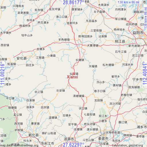
Xianxi GPS coordinates[2]
28° 14' 39.012" North, 111° 42' 19.008" East
| Map corner | latitude | longitude |
|---|---|---|
| Upper-left | 28.86177°, | 111.00216° |
| Center: | 28.24417°, | 111.70528° |
| Lower-right: | 27.62297°, | 112.40841° |
| Map W x H: | 137.7×137.7 km | = 85.6×85.6mi |
| max Lat: | 53.31946° ⇑71.9% North |
| Xianxi: | 28.24417° |
| min Lat: | ⇓28.1% South 18.22056° |
| min Long | Xianxi | max Long |
| 75.07348° | 111.70528° | 134.28917° |
| W 36%⇐ | ⇒64% E |
Elevation
Elevation of Xianxi is 183 m = 600 ft, and this is 301.8 m = 990 ft below average elevation for this country.
| Max E: |
5622 m = 18445 ft | 47.7% |
| Avg. | 484.8 m = 1591 ft | |
| Xianxi | 183 m = 600 ft | |
Min E: |
-3 m = -10 ft | 52.3% |
See also: China elevation on elevation.city.
Geographical zone
Xianxi is located in North temperate zone (between Tropic of Cancer and the Arctic Circle). Distance of this Northern Tropic circle is 534.5 km =332.1 mi to South.| Distance of | km | miles | from Xianxi |
|---|---|---|---|
| North Pole | 6866.6 | 4266.7 | to North |
| Arctic Circle | 4260.7 | 2647.5 | to North |
| Tropic Cancer | 534.5 | 332.1 | to South |
| Equator | 3140.5 | 1951.4 | to South |


Nearby cities:
15 places around Xianxi: (largest is in red/bold)
• Changtang
14.2 km =8.8 mi,  27°
27°
• Cuiping
38.6 km =24 mi,  90°
90°
• Huangcai
41.9 km =26 mi,  103°
103°
• Le’an
20.5 km =12.7 mi,  213°
213°
• Longtang
37 km =23 mi,  306°
306°
• Longtian
33.8 km =21 mi,  138°
138°
• Luojiaping
40.5 km =25.2 mi,  10°
10°
• Qianjiaping
46.4 km =28.8 mi,  359°
359°
• Qingtangpu
22.1 km =13.7 mi,  165°
165°
• Silihe
21.9 km =13.6 mi, 31°
• Songmutang
37.8 km =23.5 mi,  77°
77°
• Wutan
30.9 km =19.2 mi, 9°
• Xiangzikou
29 km =18 mi,  122°
122°
• Yangjiaotang
33.4 km =20.8 mi,  345°
345°
• Zhenshang
35.4 km =22 mi,  243°
243°
Sources, notices
• [Note1] Compared only with cities in China existing in our database
• [Src1] Map data: © OpenStreetMap contributors (CC-BY-SA)
• [Src2] Other city data from geonames.org with taken over terms of usage.
• [Src3] Geographical zone / Annual Mean Temperature by Robert A. Rohde @ Wikipedia
