Wangren geodata
Wangren (Hubei) is a seat of a fourth-order administrative division; located in China in Asia/Shanghai (GMT+8) time zone. In our database, there are 1268 cities with bigger population. Compared to other cities in China, 52.5% of cities are located further ↑North; 55% of cities are located further ←West and 77.2% of cities have higher elevation than Wangren. Note1


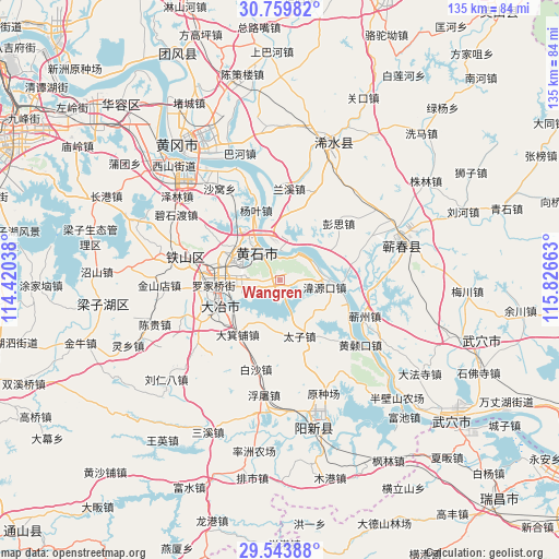
Wangren GPS coordinates[2]
30° 9' 13.392" North, 115° 7' 24.6" East
| Map corner | latitude | longitude |
|---|---|---|
| Upper-left | 30.75982°, | 114.42038° |
| Center: | 30.15372°, | 115.1235° |
| Lower-right: | 29.54388°, | 115.82663° |
| Map W x H: | 135.2×135.2 km | = 84×84mi |
| max Lat: | 53.31946° ⇑52.5% North |
| Wangren: | 30.15372° |
| min Lat: | ⇓47.5% South 18.22056° |
| min Long | Wangren | max Long |
| 75.07348° | 115.1235° | 134.28917° |
| W 55%⇐ | ⇒45% E |
Elevation
Elevation of Wangren is 32 m = 105 ft, and this is 452.8 m = 1486 ft below average elevation for this country.
| Max E: |
5622 m = 18445 ft | 77.2% |
| Avg. | 484.8 m = 1591 ft | |
| Wangren | 32 m = 105 ft | |
Min E: |
-3 m = -10 ft | 22.8% |
See also: China elevation on elevation.city.
Geographical zone
Wangren is located in North temperate zone (between Tropic of Cancer and the Arctic Circle). Distance of this Northern Tropic circle is 746.9 km =464.1 mi to South.| Distance of | km | miles | from Wangren |
|---|---|---|---|
| North Pole | 6654.3 | 4134.8 | to North |
| Arctic Circle | 4048.4 | 2515.6 | to North |
| Tropic Cancer | 746.9 | 464.1 | to South |
| Equator | 3352.8 | 2083.3 | to South |


Nearby cities:
15 places around Wangren: (largest is in red/bold)
• Dajipu
16.1 km =10 mi,  220°
220°
• Dawang
12.8 km =8 mi,  182°
182°
• Dengyue
8 km =5 mi,  297°
297°
• Dongfenglu
16.8 km =10.4 mi,  246°
246°
• Guanyao
14.9 km =9.3 mi,  91°
91°
• Hekou
9.4 km =5.8 mi, 92°
• Huangshi
12.7 km =7.9 mi,  325°
325°
• Laoxialu
14.8 km =9.2 mi,  284°
284°
• Liulin
13 km =8.1 mi,  9°
9°
• Luoqiao
16.3 km =10.1 mi,  267°
267°
• Sanhua
10 km =6.2 mi,  351°
351°
• Taizi
14.6 km =9.1 mi,  156°
156°
• Tuanchengshan
10.6 km =6.6 mi, 300°
• Weiyuankou
10.8 km =6.7 mi,  102°
102°
• Xisaishan
7.7 km =4.8 mi,  34°
34°
Sources, notices
• [Note1] Compared only with cities in China existing in our database
• [Src1] Map data: © OpenStreetMap contributors (CC-BY-SA)
• [Src2] Other city data from geonames.org with taken over terms of usage.
• [Src3] Geographical zone / Annual Mean Temperature by Robert A. Rohde @ Wikipedia
