Tawo geodata
Tawo (Hunan) is a seat of a fourth-order administrative division; located in China in Asia/Shanghai (GMT+8) time zone. In our database, there are 1268 cities with bigger population. Compared to other cities in China, 63.3% of cities are located further ↑North; 71.4% of cities are located further →East and 70.4% of cities have lower elevation than Tawo. Note1


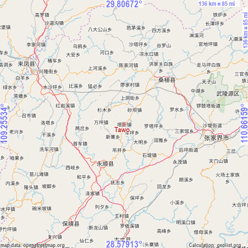
Tawo GPS coordinates[2]
29° 11' 41.136" North, 109° 57' 30.456" East
| Map corner | latitude | longitude |
|---|---|---|
| Upper-left | 29.80672°, | 109.25534° |
| Center: | 29.19476°, | 109.95846° |
| Lower-right: | 28.57913°, | 110.66159° |
| Map W x H: | 136.5×136.5 km | = 84.8×84.8mi |
| max Lat: | 53.31946° ⇑63.3% North |
| Tawo: | 29.19476° |
| min Lat: | ⇓36.7% South 18.22056° |
| min Long | Tawo | max Long |
| 75.07348° | 109.95846° | 134.28917° |
| W 28.6%⇐ | ⇒71.4% E |
Elevation
Elevation of Tawo is 419 m = 1375 ft, and this is 65.8 m = 216 ft below average elevation for this country.
| Max E: |
5622 m = 18445 ft | 29.6% |
| Avg. | 484.8 m = 1591 ft | |
| Tawo | 419 m = 1375 ft | |
Min E: |
-3 m = -10 ft | 70.4% |
See also: China elevation on elevation.city.
Geographical zone
Tawo is located in North temperate zone (between Tropic of Cancer and the Arctic Circle). Distance of this Northern Tropic circle is 640.2 km =397.8 mi to South.| Distance of | km | miles | from Tawo |
|---|---|---|---|
| North Pole | 6760.9 | 4201 | to North |
| Arctic Circle | 4155 | 2581.8 | to North |
| Tropic Cancer | 640.2 | 397.8 | to South |
| Equator | 3246.2 | 2017.1 | to South |


Nearby cities:
15 places around Tawo: (largest is in red/bold)
• Cheping
6.2 km =3.9 mi,  136°
136°
• Daming
13.2 km =8.2 mi, 137°
• Diaojingyan
14.5 km =9 mi,  191°
191°
• Guanba
11.2 km =7 mi,  3°
3°
• Guancangping
4.1 km =2.5 mi,  250°
250°
• Kesha
11.1 km =6.9 mi, 185°
• Luotaping
16.2 km =10.1 mi,  93°
93°
• Maoba
11 km =6.8 mi,  321°
321°
• Shaba
9.8 km =6.1 mi,  35°
35°
• Shangdongjie
15.3 km =9.5 mi,  10°
10°
• Shanmu
13.5 km =8.4 mi,  306°
306°
• Taozixi
15.7 km =9.8 mi, 36°
• Xiangjiazhai
4.7 km =2.9 mi,  73°
73°
• Xinzhaiping
9.3 km =5.8 mi,  223°
223°
• Yanbanpu
16.8 km =10.4 mi,  226°
226°
Sources, notices
• [Note1] Compared only with cities in China existing in our database
• [Src1] Map data: © OpenStreetMap contributors (CC-BY-SA)
• [Src2] Other city data from geonames.org with taken over terms of usage.
• [Src3] Geographical zone / Annual Mean Temperature by Robert A. Rohde @ Wikipedia
