Rongjiawan geodata
Rongjiawan (Hunan) is a seat of a third-order administrative division; located in China in Asia/Shanghai (GMT+8) time zone. In our database, there are 1268 cities with bigger population. Compared to other cities in China, 63.8% of cities are located further ↑North; 56.9% of cities are located further →East and 71% of cities have higher elevation than Rongjiawan. Note1


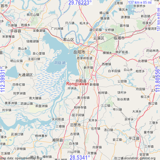
Rongjiawan GPS coordinates[2]
29° 9' 0" North, 113° 6' 8.748" East
| Map corner | latitude | longitude |
|---|---|---|
| Upper-left | 29.76223°, | 112.39931° |
| Center: | 29.15°, | 113.10243° |
| Lower-right: | 28.5341°, | 113.80556° |
| Map W x H: | 136.6×136.6 km | = 84.9×84.9mi |
| max Lat: | 53.31946° ⇑63.8% North |
| Rongjiawan: | 29.15° |
| min Lat: | ⇓36.2% South 18.22056° |
| min Long | Rongjiawan | max Long |
| 75.07348° | 113.10243° | 134.28917° |
| W 43.1%⇐ | ⇒56.9% E |
Elevation
Elevation of Rongjiawan is 48 m = 157 ft, and this is 436.8 m = 1433 ft below average elevation for this country.
| Max E: |
5622 m = 18445 ft | 71% |
| Avg. | 484.8 m = 1591 ft | |
| Rongjiawan | 48 m = 157 ft | |
Min E: |
-3 m = -10 ft | 29% |
See also: China elevation on elevation.city.
Geographical zone
Rongjiawan is located in North temperate zone (between Tropic of Cancer and the Arctic Circle). Distance of this Northern Tropic circle is 635.3 km =394.8 mi to South.| Distance of | km | miles | from Rongjiawan |
|---|---|---|---|
| North Pole | 6765.9 | 4204.1 | to North |
| Arctic Circle | 4160 | 2584.9 | to North |
| Tropic Cancer | 635.3 | 394.8 | to South |
| Equator | 3241.2 | 2014 | to South |


Nearby cities:
15 places around Rongjiawan: (largest is in red/bold)
• Bailuo
45.7 km =28.4 mi,  12°
12°
• Beizhouzi
40.3 km =25 mi,  272°
272°
• Dongtang
43.4 km =27 mi,  197°
197°
• Fanjiayuan
29.4 km =18.3 mi,  182°
182°
• Huage
46.1 km =28.6 mi,  290°
290°
• Liulinzhou
35.2 km =21.9 mi,  345°
345°
• Lujiao
9.2 km =5.7 mi, 272°
• Miluo Chengguanzhen
37.9 km =23.5 mi,  185°
185°
• Nandashan
40.8 km =25.4 mi,  247°
247°
• Qingtan
40.9 km =25.4 mi,  217°
217°
• Sanzhou
47 km =29.2 mi,  340°
340°
• Tuanzhou
37.9 km =23.5 mi,  302°
302°
• Xintang
18 km =11.2 mi, 201°
• Yueyang
25 km =15.5 mi,  358°
358°
• Yunxi
38.5 km =23.9 mi,  21°
21°
Sources, notices
• [Note1] Compared only with cities in China existing in our database
• [Src1] Map data: © OpenStreetMap contributors (CC-BY-SA)
• [Src2] Other city data from geonames.org with taken over terms of usage.
• [Src3] Geographical zone / Annual Mean Temperature by Robert A. Rohde @ Wikipedia
