Miaotan geodata
Miaotan (Hubei) is a seat of a fourth-order administrative division; located in China in Asia/Shanghai (GMT+8) time zone. In our database, there are 1268 cities with bigger population. Compared to other cities in China, 62.1% of cities are located further ↓South; 63.8% of cities are located further →East and 62.6% of cities have higher elevation than Miaotan. Note1


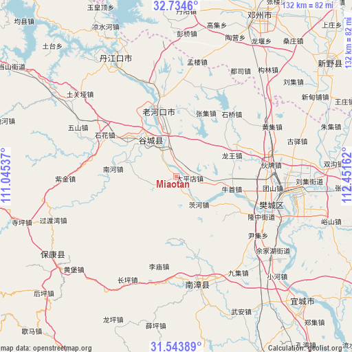
Miaotan GPS coordinates[2]
32° 8' 28.284" North, 111° 44' 54.564" East
| Map corner | latitude | longitude |
|---|---|---|
| Upper-left | 32.7346°, | 111.04537° |
| Center: | 32.14119°, | 111.74849° |
| Lower-right: | 31.54389°, | 112.45162° |
| Map W x H: | 132.4×132.4 km | = 82.3×82.3mi |
| max Lat: | 53.31946° ⇑37.9% North |
| Miaotan: | 32.14119° |
| min Lat: | ⇓62.1% South 18.22056° |
| min Long | Miaotan | max Long |
| 75.07348° | 111.74849° | 134.28917° |
| W 36.2%⇐ | ⇒63.8% E |
Elevation
Elevation of Miaotan is 84 m = 276 ft, and this is 400.8 m = 1315 ft below average elevation for this country.
| Max E: |
5622 m = 18445 ft | 62.6% |
| Avg. | 484.8 m = 1591 ft | |
| Miaotan | 84 m = 276 ft | |
Min E: |
-3 m = -10 ft | 37.4% |
See also: China elevation on elevation.city.
Geographical zone
Miaotan is located in North temperate zone (between Tropic of Cancer and the Arctic Circle). Distance of this Northern Tropic circle is 967.8 km =601.4 mi to South.| Distance of | km | miles | from Miaotan |
|---|---|---|---|
| North Pole | 6433.3 | 3997.5 | to North |
| Arctic Circle | 3827.4 | 2378.2 | to North |
| Tropic Cancer | 967.8 | 601.4 | to South |
| Equator | 3573.8 | 2220.7 | to South |


Nearby cities:
15 places around Miaotan: (largest is in red/bold)
• Cihe
13.3 km =8.3 mi,  140°
140°
• Gucheng Chengguanzhen
17.5 km =10.9 mi,  322°
322°
• Laohekou
28.2 km =17.5 mi,  344°
344°
• Lengji
29.1 km =18.1 mi,  329°
329°
• Longwang
22.5 km =14 mi,  69°
69°
• Nanhe
22.8 km =14.2 mi,  279°
279°
• Niushou
21.3 km =13.2 mi,  102°
102°
• Nizui
28.4 km =17.6 mi,  117°
117°
• Shihua
31.5 km =19.6 mi,  299°
299°
• Shipu
32.3 km =20.1 mi,  108°
108°
• Shiqiao
31.7 km =19.7 mi,  42°
42°
• Taipingdian
5.2 km =3.2 mi, 96°
• Xiangcheng
27.8 km =17.3 mi, 144°
• Xianrendu
13.2 km =8.2 mi,  345°
345°
• Zhangji
26.4 km =16.4 mi,  25°
25°
Sources, notices
• [Note1] Compared only with cities in China existing in our database
• [Src1] Map data: © OpenStreetMap contributors (CC-BY-SA)
• [Src2] Other city data from geonames.org with taken over terms of usage.
• [Src3] Geographical zone / Annual Mean Temperature by Robert A. Rohde @ Wikipedia
