Majiang geodata
Majiang (Hunan) is a seat of a fourth-order administrative division; located in China in Asia/Shanghai (GMT+8) time zone. In our database, there are 1268 cities with bigger population. Compared to other cities in China, 79.7% of cities are located further ↑North; 54.1% of cities are located further →East and 56.4% of cities have higher elevation than Majiang. Note1


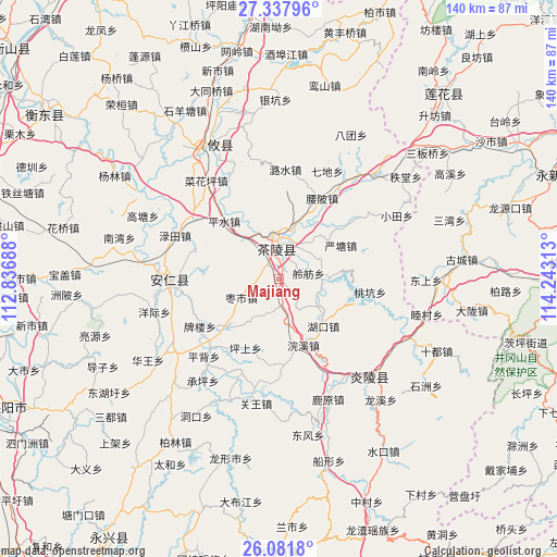
Majiang GPS coordinates[2]
26° 42' 41.796" North, 113° 32' 24" East
| Map corner | latitude | longitude |
|---|---|---|
| Upper-left | 27.33796°, | 112.83688° |
| Center: | 26.71161°, | 113.54° |
| Lower-right: | 26.0818°, | 114.24313° |
| Map W x H: | 139.7×139.7 km | = 86.8×86.8mi |
| max Lat: | 53.31946° ⇑79.7% North |
| Majiang: | 26.71161° |
| min Lat: | ⇓20.3% South 18.22056° |
| min Long | Majiang | max Long |
| 75.07348° | 113.54° | 134.28917° |
| W 45.9%⇐ | ⇒54.1% E |
Elevation
Elevation of Majiang is 121 m = 397 ft, and this is 363.8 m = 1194 ft below average elevation for this country.
| Max E: |
5622 m = 18445 ft | 56.4% |
| Avg. | 484.8 m = 1591 ft | |
| Majiang | 121 m = 397 ft | |
Min E: |
-3 m = -10 ft | 43.6% |
See also: China elevation on elevation.city.
Geographical zone
Majiang is located in North temperate zone (between Tropic of Cancer and the Arctic Circle). Distance of this Northern Tropic circle is 364.1 km =226.2 mi to South.| Distance of | km | miles | from Majiang |
|---|---|---|---|
| North Pole | 7037 | 4372.6 | to North |
| Arctic Circle | 4431.1 | 2753.4 | to North |
| Tropic Cancer | 364.1 | 226.2 | to South |
| Equator | 2970.1 | 1845.5 | to South |


Nearby cities:
15 places around Majiang: (largest is in red/bold)
• Chaling Chengguanzhen
8.8 km =5.5 mi,  359°
359°
• Huanxi
17.5 km =10.9 mi,  159°
159°
• Hukou
16.1 km =10 mi,  136°
136°
• Jiangkou
26.3 km =16.3 mi,  103°
103°
• Jieshou
17.7 km =11 mi,  228°
228°
• Lingfang
7.5 km =4.7 mi,  77°
77°
• Mijiang
9.1 km =5.7 mi,  9°
9°
• Pingshui
20.1 km =12.5 mi,  316°
316°
• Sicong
11.4 km =7.1 mi,  1°
1°
• Taokeng
21.4 km =13.3 mi, 103°
• Xiadong
7 km =4.3 mi,  352°
352°
• Yantang
17.7 km =11 mi,  61°
61°
• Yaopi
23.1 km =14.4 mi,  27°
27°
• Yaoshui
19.2 km =11.9 mi,  48°
48°
• Zaoshi
10.5 km =6.5 mi,  244°
244°
Sources, notices
• [Note1] Compared only with cities in China existing in our database
• [Src1] Map data: © OpenStreetMap contributors (CC-BY-SA)
• [Src2] Other city data from geonames.org with taken over terms of usage.
• [Src3] Geographical zone / Annual Mean Temperature by Robert A. Rohde @ Wikipedia
