Chongwen geodata
Chongwen (Shanxi) is a seat of a third-order administrative division; located in China in Asia/Shanghai (GMT+8) time zone. In our database, there are 1268 cities with bigger population. Compared to other cities in China, 76.7% of cities are located further ↓South; 55.9% of cities are located further →East and 88% of cities have lower elevation than Chongwen. Note1


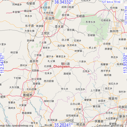
Chongwen GPS coordinates[2]
35° 46' 29.676" North, 113° 15' 2.844" East
| Map corner | latitude | longitude |
|---|---|---|
| Upper-left | 36.34332°, | 112.54767° |
| Center: | 35.77491°, | 113.25079° |
| Lower-right: | 35.20241°, | 113.95392° |
| Map W x H: | 126.9×126.9 km | = 78.9×78.9mi |
| max Lat: | 53.31946° ⇑23.3% North |
| Chongwen: | 35.77491° |
| min Lat: | ⇓76.7% South 18.22056° |
| min Long | Chongwen | max Long |
| 75.07348° | 113.25079° | 134.28917° |
| W 44.1%⇐ | ⇒55.9% E |
Elevation
Elevation of Chongwen is 1184 m = 3885 ft, and this is 699.2 m = 2294 ft above average elevation for this country.
| Max E: |
5622 m = 18445 ft | 12% |
| Chongwen | 1184 m 3885 ft | |
| Avg. | 484.8 m = 1591 ft | |
Min E: |
-3 m = -10 ft | 88% |
See also: China elevation on elevation.city.
Geographical zone
Chongwen is located in North temperate zone (between Tropic of Cancer and the Arctic Circle). Distance of this Northern Tropic circle is 1371.9 km =852.5 mi to South.| Distance of | km | miles | from Chongwen |
|---|---|---|---|
| North Pole | 6029.3 | 3746.4 | to North |
| Arctic Circle | 3423.4 | 2127.2 | to North |
| Tropic Cancer | 1371.9 | 852.5 | to South |
| Equator | 3977.8 | 2471.7 | to South |


Nearby cities:
15 places around Chongwen: (largest is in red/bold)
• Beishidian
41 km =25.5 mi,  231°
231°
• Changzhi
47.3 km =29.4 mi,  343°
343°
• Chengguan
60.7 km =37.7 mi,  125°
125°
• Danzhu
52.4 km =32.6 mi,  317°
317°
• Daxinzhuang
53.2 km =33.1 mi, 343°
• Handian
35.4 km =22 mi,  328°
328°
• Jiaozuo
59.5 km =37 mi,  181°
181°
• Jincheng
48.4 km =30.1 mi, 231°
• Jincun
43.5 km =27 mi, 225°
• Kaiyuan
60.9 km =37.8 mi,  57°
57°
• Longquan
38.5 km =23.9 mi,  351°
351°
• Luhua
61.9 km =38.5 mi,  357°
357°
• Nancun
53.7 km =33.4 mi, 229°
• Qingyang
50.3 km =31.3 mi,  17°
17°
• Zhongzhan
59.9 km =37.2 mi,  187°
187°
Sources, notices
• [Note1] Compared only with cities in China existing in our database
• [Src1] Map data: © OpenStreetMap contributors (CC-BY-SA)
• [Src2] Other city data from geonames.org with taken over terms of usage.
• [Src3] Geographical zone / Annual Mean Temperature by Robert A. Rohde @ Wikipedia
