Licheng geodata
Licheng (Guangdong) is a seat of a third-order administrative division; located in China in Asia/Shanghai (GMT+8) time zone. With population of 172,775 people, there are 258 cities with bigger population in this country. Compared to other cities in China, 93% of cities are located further ↑North; 52.4% of cities are located further →East and 81.2% of cities have higher elevation than Licheng. Note1


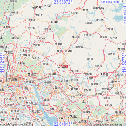
Licheng GPS coordinates[2]
23° 17' 43.764" North, 113° 49' 28.74" East
| Map corner | latitude | longitude |
|---|---|---|
| Upper-left | 23.93972°, | 113.12153° |
| Center: | 23.29549°, | 113.82465° |
| Lower-right: | 22.64813°, | 114.52778° |
| Map W x H: | 143.6×143.6 km | = 89.2×89.2mi |
| max Lat: | 53.31946° ⇑93% North |
| Licheng: | 23.29549° |
| min Lat: | ⇓7% South 18.22056° |
| min Long | Licheng | max Long |
| 75.07348° | 113.82465° | 134.28917° |
| W 47.6%⇐ | ⇒52.4% E |
Elevation
Elevation of Licheng is 24 m = 79 ft, and this is 460.8 m = 1512 ft below average elevation for this country.
| Max E: |
5622 m = 18445 ft | 81.2% |
| Avg. | 484.8 m = 1591 ft | |
| Licheng | 24 m = 79 ft | |
Min E: |
-3 m = -10 ft | 18.8% |
See also: Licheng elevation on elevation.city.
Geographical zone
Licheng is located in North Torrid zone (between Equator and Tropic of Cancer). Distance of this Northern Tropic circle is 15.7 km =9.8 mi to North.| Distance of | km | miles | from Licheng |
|---|---|---|---|
| North Pole | 7416.8 | 4608.6 | to North |
| Arctic Circle | 4811 | 2989.4 | to North |
| Tropic Cancer | 15.7 | 9.8 | to North |
| Equator | 2590.2 | 1609.5 | to South |


Nearby cities:
15 places around Licheng: (largest is in red/bold)
• Changning
23.2 km =14.4 mi,  110°
110°
• Futian
15.9 km =9.9 mi,  122°
122°
• Ningxi
19.4 km =12.1 mi,  243°
243°
• Paitan
21.9 km =13.6 mi,  345°
345°
• Shazhuang
18.1 km =11.2 mi,  176°
176°
• Shijie
22.5 km =14 mi,  188°
188°
• Shilong
20.3 km =12.6 mi,  173°
173°
• Shitan
13.9 km =8.6 mi,  196°
196°
• Shiwan
17.5 km =10.9 mi, 170°
• Xiaolou
10.2 km =6.3 mi,  1°
1°
• Yuanzhou
23.1 km =14.4 mi,  146°
146°
• Zengjiang
4.5 km =2.8 mi,  53°
53°
• Zhengguo
14.9 km =9.3 mi,  28°
28°
• Zhongxin
21.7 km =13.5 mi,  267°
267°
• Zhucun
14 km =8.7 mi,  262°
262°
Sources, notices
• [Note1] Compared only with cities in China existing in our database
• [Src1] Map data: © OpenStreetMap contributors (CC-BY-SA)
• [Src2] Other city data from geonames.org with taken over terms of usage.
• [Src3] Geographical zone / Annual Mean Temperature by Robert A. Rohde @ Wikipedia
