Gubei geodata
Gubei (Jiangxi) is a seat of a fourth-order administrative division; located in China in Asia/Shanghai (GMT+8) time zone. In our database, there are 1268 cities with bigger population. Compared to other cities in China, 85% of cities are located further ↑North; 54.8% of cities are located further ←West and 50.1% of cities have lower elevation than Gubei. Note1


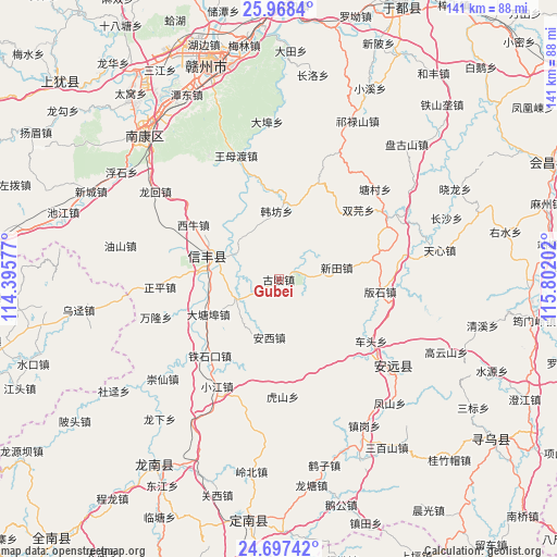
Gubei GPS coordinates[2]
25° 20' 4.488" North, 115° 5' 56.004" East
| Map corner | latitude | longitude |
|---|---|---|
| Upper-left | 25.9684°, | 114.39577° |
| Center: | 25.33458°, | 115.09889° |
| Lower-right: | 24.69742°, | 115.80202° |
| Map W x H: | 141.3×141.3 km | = 87.8×87.8mi |
| max Lat: | 53.31946° ⇑85% North |
| Gubei: | 25.33458° |
| min Lat: | ⇓15% South 18.22056° |
| min Long | Gubei | max Long |
| 75.07348° | 115.09889° | 134.28917° |
| W 54.8%⇐ | ⇒45.2% E |
Elevation
Elevation of Gubei is 166 m = 545 ft, and this is 318.8 m = 1046 ft below average elevation for this country.
| Max E: |
5622 m = 18445 ft | 49.9% |
| Avg. | 484.8 m = 1591 ft | |
| Gubei | 166 m = 545 ft | |
Min E: |
-3 m = -10 ft | 50.1% |
See also: China elevation on elevation.city.
Geographical zone
Gubei is located in North temperate zone (between Tropic of Cancer and the Arctic Circle). Distance of this Northern Tropic circle is 211 km =131.1 mi to South.| Distance of | km | miles | from Gubei |
|---|---|---|---|
| North Pole | 7190.1 | 4467.7 | to North |
| Arctic Circle | 4584.2 | 2848.5 | to North |
| Tropic Cancer | 211 | 131.1 | to South |
| Equator | 2816.9 | 1750.3 | to South |


Nearby cities:
15 places around Gubei: (largest is in red/bold)
• Anxi
14.9 km =9.3 mi,  189°
189°
• Banshi
26 km =16.2 mi,  96°
96°
• Caifang
35.1 km =21.8 mi, 96°
• Chetou
28.2 km =17.5 mi,  123°
123°
• Daqiao
5.3 km =3.3 mi,  68°
68°
• Hanfang
17.2 km =10.7 mi,  358°
358°
• Hushan
29.8 km =18.5 mi,  177°
177°
• Jiading
20.1 km =12.5 mi,  301°
301°
• Longbu
31.8 km =19.8 mi,  60°
60°
• Shuangyuan
26.8 km =16.7 mi,  48°
48°
• Tangcun
33.5 km =20.8 mi, 46°
• Wangmudu
32.4 km =20.1 mi,  341°
341°
• Xinlong
31.1 km =19.3 mi,  132°
132°
• Xintian
15 km =9.3 mi,  78°
78°
• Zhongshi
32.5 km =20.2 mi, 79°
Sources, notices
• [Note1] Compared only with cities in China existing in our database
• [Src1] Map data: © OpenStreetMap contributors (CC-BY-SA)
• [Src2] Other city data from geonames.org with taken over terms of usage.
• [Src3] Geographical zone / Annual Mean Temperature by Robert A. Rohde @ Wikipedia
