Guangshun geodata
Guangshun (Chongqing) is a seat of a fourth-order administrative division; located in China in Asia/Shanghai (GMT+8) time zone. In our database, there are 1268 cities with bigger population. Compared to other cities in China, 61.1% of cities are located further ↑North; 88.2% of cities are located further →East and 64.1% of cities have lower elevation than Guangshun. Note1


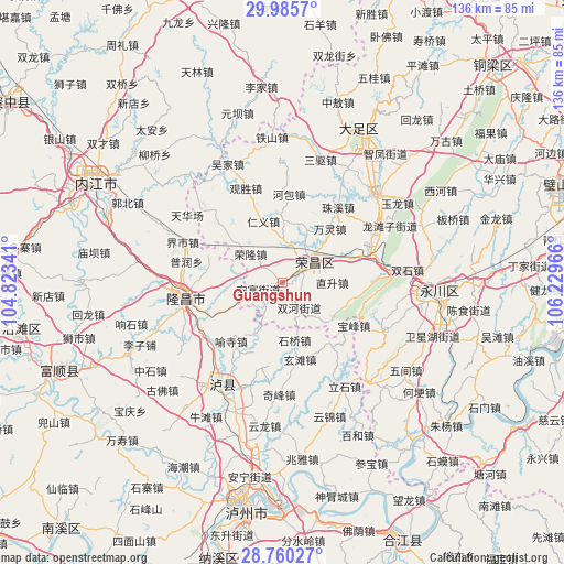
Guangshun GPS coordinates[2]
29° 22' 29.388" North, 105° 31' 35.508" East
| Map corner | latitude | longitude |
|---|---|---|
| Upper-left | 29.9857°, | 104.82341° |
| Center: | 29.37483°, | 105.52653° |
| Lower-right: | 28.76027°, | 106.22966° |
| Map W x H: | 136.3×136.3 km | = 84.7×84.7mi |
| max Lat: | 53.31946° ⇑61.1% North |
| Guangshun: | 29.37483° |
| min Lat: | ⇓38.9% South 18.22056° |
| min Long | Guangshun | max Long |
| 75.07348° | 105.52653° | 134.28917° |
| W 11.8%⇐ | ⇒88.2% E |
Elevation
Elevation of Guangshun is 311 m = 1020 ft, and this is 173.8 m = 570 ft below average elevation for this country.
| Max E: |
5622 m = 18445 ft | 35.9% |
| Avg. | 484.8 m = 1591 ft | |
| Guangshun | 311 m = 1020 ft | |
Min E: |
-3 m = -10 ft | 64.1% |
See also: China elevation on elevation.city.
Geographical zone
Guangshun is located in North temperate zone (between Tropic of Cancer and the Arctic Circle). Distance of this Northern Tropic circle is 660.3 km =410.3 mi to South.| Distance of | km | miles | from Guangshun |
|---|---|---|---|
| North Pole | 6740.9 | 4188.6 | to North |
| Arctic Circle | 4135 | 2569.4 | to North |
| Tropic Cancer | 660.3 | 410.3 | to South |
| Equator | 3266.2 | 2029.5 | to South |


Nearby cities:
15 places around Guangshun: (largest is in red/bold)
• Anfu
6 km =3.7 mi,  253°
253°
• Baofeng
20.3 km =12.6 mi,  121°
121°
• Changyuan
6.9 km =4.3 mi,  60°
60°
• Fenggao
15.5 km =9.6 mi,  68°
68°
• Guchang
13.8 km =8.6 mi,  25°
25°
• Honglu
19.6 km =12.2 mi,  97°
97°
• Longji
15.3 km =9.5 mi,  309°
309°
• Panlong
20.5 km =12.7 mi, 312°
• Qingjiang
11.4 km =7.1 mi,  206°
206°
• Qingsheng
6.5 km =4 mi,  193°
193°
• Renyi
15.5 km =9.6 mi,  342°
342°
• Ronglong
10.1 km =6.3 mi, 311°
• Shuanghe
7.3 km =4.5 mi,  145°
145°
• Yongrong
13.3 km =8.3 mi,  107°
107°
• Zhisheng
12.3 km =7.6 mi,  90°
90°
Sources, notices
• [Note1] Compared only with cities in China existing in our database
• [Src1] Map data: © OpenStreetMap contributors (CC-BY-SA)
• [Src2] Other city data from geonames.org with taken over terms of usage.
• [Src3] Geographical zone / Annual Mean Temperature by Robert A. Rohde @ Wikipedia
