Gangnan geodata
Gangnan (Hebei) is a seat of a fourth-order administrative division; located in China in Asia/Shanghai (GMT+8) time zone. In our database, there are 1268 cities with bigger population. Compared to other cities in China, 81.5% of cities are located further ↓South; 51.2% of cities are located further →East and 50.3% of cities have higher elevation than Gangnan. Note1


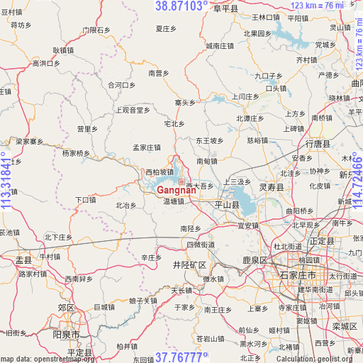
Gangnan GPS coordinates[2]
38° 19' 17.4" North, 114° 1' 17.508" East
| Map corner | latitude | longitude |
|---|---|---|
| Upper-left | 38.87103°, | 113.31841° |
| Center: | 38.3215°, | 114.02153° |
| Lower-right: | 37.76777°, | 114.72466° |
| Map W x H: | 122.7×122.7 km | = 76.2×76.2mi |
| max Lat: | 53.31946° ⇑18.5% North |
| Gangnan: | 38.3215° |
| min Lat: | ⇓81.5% South 18.22056° |
| min Long | Gangnan | max Long |
| 75.07348° | 114.02153° | 134.28917° |
| W 48.8%⇐ | ⇒51.2% E |
Elevation
Elevation of Gangnan is 162 m = 531 ft, and this is 322.8 m = 1059 ft below average elevation for this country.
| Max E: |
5622 m = 18445 ft | 50.3% |
| Avg. | 484.8 m = 1591 ft | |
| Gangnan | 162 m = 531 ft | |
Min E: |
-3 m = -10 ft | 49.7% |
See also: China elevation on elevation.city.
Geographical zone
Gangnan is located in North temperate zone (between Tropic of Cancer and the Arctic Circle). Distance of this Northern Tropic circle is 1655 km =1028.4 mi to South.| Distance of | km | miles | from Gangnan |
|---|---|---|---|
| North Pole | 5746.1 | 3570.5 | to North |
| Arctic Circle | 3140.2 | 1951.2 | to North |
| Tropic Cancer | 1655 | 1028.4 | to South |
| Equator | 4261 | 2647.7 | to South |


Nearby cities:
15 places around Gangnan: (largest is in red/bold)
• Donghuishe
9.6 km =6 mi,  142°
142°
• Dongwangpo
16.8 km =10.4 mi,  33°
33°
• Goutai
26 km =16.2 mi,  87°
87°
• Jiazhuang
24.8 km =15.4 mi,  176°
176°
• Lianghe
12 km =7.5 mi,  83°
83°
• Nandian
11.7 km =7.3 mi,  52°
52°
• Nanxing
15.8 km =9.8 mi,  170°
170°
• Nanyanchuan
24.9 km =15.5 mi, 46°
• Niucheng
25 km =15.5 mi,  102°
102°
• Shangsanji
18.1 km =11.2 mi, 89°
• Sujiazhuang
9.7 km =6 mi,  350°
350°
• Sunzhuang
21.4 km =13.3 mi,  151°
151°
• Tashang
17.7 km =11 mi,  62°
62°
• Xiaozuo
22.5 km =14 mi, 181°
• Xidawu
6.5 km =4 mi, 103°
Sources, notices
• [Note1] Compared only with cities in China existing in our database
• [Src1] Map data: © OpenStreetMap contributors (CC-BY-SA)
• [Src2] Other city data from geonames.org with taken over terms of usage.
• [Src3] Geographical zone / Annual Mean Temperature by Robert A. Rohde @ Wikipedia
