Fengyang geodata
Fengyang (Fujian) is a seat of a fourth-order administrative division; located in China in Asia/Shanghai (GMT+8) time zone. In our database, there are 1268 cities with bigger population. Compared to other cities in China, 77.6% of cities are located further ↑North; 78.6% of cities are located further ←West and 79.7% of cities have lower elevation than Fengyang. Note1


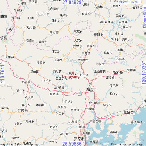
Fengyang GPS coordinates[2]
27° 13' 32.988" North, 119° 28' 1.992" East
| Map corner | latitude | longitude |
|---|---|---|
| Upper-left | 27.84929°, | 118.7641° |
| Center: | 27.22583°, | 119.46722° |
| Lower-right: | 26.59886°, | 120.17035° |
| Map W x H: | 139×139 km | = 86.4×86.4mi |
| max Lat: | 53.31946° ⇑77.6% North |
| Fengyang: | 27.22583° |
| min Lat: | ⇓22.4% South 18.22056° |
| min Long | Fengyang | max Long |
| 75.07348° | 119.46722° | 134.28917° |
| W 78.6%⇐ | ⇒21.4% E |
Elevation
Elevation of Fengyang is 680 m = 2231 ft, and this is 195.2 m = 640 ft above average elevation for this country.
| Max E: |
5622 m = 18445 ft | 20.3% |
| Fengyang | 680 m 2231 ft | |
| Avg. | 484.8 m = 1591 ft | |
Min E: |
-3 m = -10 ft | 79.7% |
See also: China elevation on elevation.city.
Geographical zone
Fengyang is located in North temperate zone (between Tropic of Cancer and the Arctic Circle). Distance of this Northern Tropic circle is 421.3 km =261.8 mi to South.| Distance of | km | miles | from Fengyang |
|---|---|---|---|
| North Pole | 6979.8 | 4337 | to North |
| Arctic Circle | 4373.9 | 2717.8 | to North |
| Tropic Cancer | 421.3 | 261.8 | to South |
| Equator | 3027.2 | 1881 | to South |


Nearby cities:
15 places around Fengyang: (largest is in red/bold)
• Chunchi
15.4 km =9.6 mi,  277°
277°
• Kangcuo
20.3 km =12.6 mi,  161°
161°
• Muyang
19.1 km =11.9 mi, 163°
• Muyun
19.7 km =12.2 mi, 158°
• Pingxi
19.2 km =11.9 mi,  312°
312°
• Puyuan
20.5 km =12.7 mi,  236°
236°
• Qingyuan
19.7 km =12.2 mi,  6°
6°
• Qinyang
19.3 km =12 mi,  336°
336°
• Shekou
10.4 km =6.5 mi,  98°
98°
• Tantou
19.3 km =12 mi, 96°
• Wuqu
9.8 km =6.1 mi,  84°
84°
• Xiaoyang
4.5 km =2.8 mi,  200°
200°
• Xietan
12.6 km =7.8 mi,  30°
30°
• Zhouning
18.6 km =11.6 mi,  224°
224°
• Zhuguanlong
16 km =9.9 mi,  36°
36°
Sources, notices
• [Note1] Compared only with cities in China existing in our database
• [Src1] Map data: © OpenStreetMap contributors (CC-BY-SA)
• [Src2] Other city data from geonames.org with taken over terms of usage.
• [Src3] Geographical zone / Annual Mean Temperature by Robert A. Rohde @ Wikipedia
