Fengming geodata
Fengming (Shaanxi) is a seat of a third-order administrative division; located in China in Asia/Shanghai (GMT+8) time zone. In our database, there are 1268 cities with bigger population. Compared to other cities in China, 72.4% of cities are located further ↓South; 81.8% of cities are located further →East and 79.6% of cities have lower elevation than Fengming. Note1


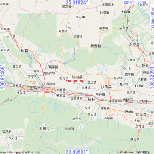
Fengming GPS coordinates[2]
34° 26' 29.004" North, 107° 37' 4.008" East
| Map corner | latitude | longitude |
|---|---|---|
| Upper-left | 35.01924°, | 106.91466° |
| Center: | 34.44139°, | 107.61778° |
| Lower-right: | 33.85951°, | 108.32091° |
| Map W x H: | 128.9×129 km | = 80.1×80.2mi |
| max Lat: | 53.31946° ⇑27.6% North |
| Fengming: | 34.44139° |
| min Lat: | ⇓72.4% South 18.22056° |
| min Long | Fengming | max Long |
| 75.07348° | 107.61778° | 134.28917° |
| W 18.2%⇐ | ⇒81.8% E |
Elevation
Elevation of Fengming is 677 m = 2221 ft, and this is 192.2 m = 631 ft above average elevation for this country.
| Max E: |
5622 m = 18445 ft | 20.4% |
| Fengming | 677 m 2221 ft | |
| Avg. | 484.8 m = 1591 ft | |
Min E: |
-3 m = -10 ft | 79.6% |
See also: China elevation on elevation.city.
Geographical zone
Fengming is located in North temperate zone (between Tropic of Cancer and the Arctic Circle). Distance of this Northern Tropic circle is 1223.6 km =760.3 mi to South.| Distance of | km | miles | from Fengming |
|---|---|---|---|
| North Pole | 6177.5 | 3838.5 | to North |
| Arctic Circle | 3571.7 | 2219.4 | to North |
| Tropic Cancer | 1223.6 | 760.3 | to South |
| Equator | 3829.5 | 2379.5 | to South |


Nearby cities:
15 places around Fengming: (largest is in red/bold)
• Biaojiao
11.1 km =6.9 mi,  266°
266°
• Caijiapo
12.8 km =8 mi,  188°
188°
• Daying
5.9 km =3.7 mi,  128°
128°
• Gujun
6.6 km =4.1 mi,  91°
91°
• Guowang
10.5 km =6.5 mi,  232°
232°
• Hengshui
9.1 km =5.7 mi,  289°
289°
• Majia
16.7 km =10.4 mi,  150°
150°
• Pucun
12.8 km =8 mi,  73°
73°
• Tianjiazhuang
15.4 km =9.6 mi,  302°
302°
• Yangping
16.4 km =10.2 mi, 225°
• Yaojiagou
16.5 km =10.3 mi,  327°
327°
• Yidian
13.1 km =8.1 mi,  108°
108°
• Yongchuan
8.6 km =5.3 mi,  168°
168°
• Zaolin
11.3 km =7 mi,  140°
140°
• Zhujiazhuang
15.3 km =9.5 mi,  77°
77°
Sources, notices
• [Note1] Compared only with cities in China existing in our database
• [Src1] Map data: © OpenStreetMap contributors (CC-BY-SA)
• [Src2] Other city data from geonames.org with taken over terms of usage.
• [Src3] Geographical zone / Annual Mean Temperature by Robert A. Rohde @ Wikipedia
