Daxie geodata
Daxie (Chongqing) is a seat of a fourth-order administrative division; located in China in Asia/Shanghai (GMT+8) time zone. In our database, there are 1268 cities with bigger population. Compared to other cities in China, 53.3% of cities are located further ↑North; 80.2% of cities are located further →East and 80.1% of cities have lower elevation than Daxie. Note1


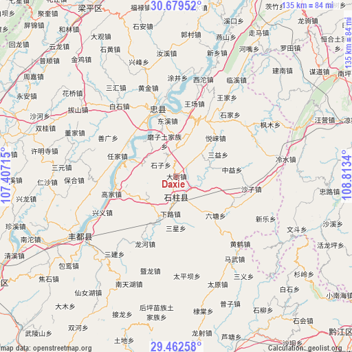
Daxie GPS coordinates[2]
30° 4' 22.512" North, 108° 6' 36.972" East
| Map corner | latitude | longitude |
|---|---|---|
| Upper-left | 30.67952°, | 107.40715° |
| Center: | 30.07292°, | 108.11027° |
| Lower-right: | 29.46258°, | 108.8134° |
| Map W x H: | 135.3×135.3 km | = 84.1×84.1mi |
| max Lat: | 53.31946° ⇑53.3% North |
| Daxie: | 30.07292° |
| min Lat: | ⇓46.7% South 18.22056° |
| min Long | Daxie | max Long |
| 75.07348° | 108.11027° | 134.28917° |
| W 19.8%⇐ | ⇒80.2% E |
Elevation
Elevation of Daxie is 699 m = 2293 ft, and this is 214.2 m = 703 ft above average elevation for this country.
| Max E: |
5622 m = 18445 ft | 19.9% |
| Daxie | 699 m 2293 ft | |
| Avg. | 484.8 m = 1591 ft | |
Min E: |
-3 m = -10 ft | 80.1% |
See also: China elevation on elevation.city.
Geographical zone
Daxie is located in North temperate zone (between Tropic of Cancer and the Arctic Circle). Distance of this Northern Tropic circle is 737.9 km =458.5 mi to South.| Distance of | km | miles | from Daxie |
|---|---|---|---|
| North Pole | 6663.3 | 4140.4 | to North |
| Arctic Circle | 4057.4 | 2521.2 | to North |
| Tropic Cancer | 737.9 | 458.5 | to South |
| Equator | 3343.8 | 2077.7 | to South |


Nearby cities:
15 places around Daxie: (largest is in red/bold)
• Jiangchi
19.4 km =12.1 mi,  204°
204°
• Longkong
19.1 km =11.9 mi,  260°
260°
• Longsha
9.9 km =6.2 mi,  45°
45°
• Mozi
14.1 km =8.8 mi,  340°
340°
• Nanbin
8.2 km =5.1 mi,  180°
180°
• Qiaotou
14.8 km =9.2 mi,  74°
74°
• Sanxing
19.6 km =12.2 mi, 180°
• Sanyi
18 km =11.2 mi,  62°
62°
• Shizi
7.4 km =4.6 mi,  306°
306°
• Wanchao
13.7 km =8.5 mi,  14°
14°
• Wuyang
18.2 km =11.3 mi,  323°
323°
• Xialu
14.8 km =9.2 mi,  189°
189°
• Yangdu
18.6 km =11.6 mi,  289°
289°
• Yuelai
21.1 km =13.1 mi, 45°
• Zhongyi
21.4 km =13.3 mi,  83°
83°
Sources, notices
• [Note1] Compared only with cities in China existing in our database
• [Src1] Map data: © OpenStreetMap contributors (CC-BY-SA)
• [Src2] Other city data from geonames.org with taken over terms of usage.
• [Src3] Geographical zone / Annual Mean Temperature by Robert A. Rohde @ Wikipedia
