Datian geodata
Datian (Zhejiang) is a seat of a fourth-order administrative division; located in China in Asia/Shanghai (GMT+8) time zone. In our database, there are 1268 cities with bigger population. Compared to other cities in China, 66.3% of cities are located further ↑North; 88.6% of cities are located further ←West and 84.3% of cities have higher elevation than Datian. Note1


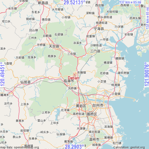
Datian GPS coordinates[2]
28° 54' 27.468" North, 121° 11' 51.468" East
| Map corner | latitude | longitude |
|---|---|---|
| Upper-left | 29.52131°, | 120.49451° |
| Center: | 28.90763°, | 121.19763° |
| Lower-right: | 28.2903°, | 121.90076° |
| Map W x H: | 136.9×136.9 km | = 85.1×85.1mi |
| max Lat: | 53.31946° ⇑66.3% North |
| Datian: | 28.90763° |
| min Lat: | ⇓33.7% South 18.22056° |
| min Long | Datian | max Long |
| 75.07348° | 121.19763° | 134.28917° |
| W 88.6%⇐ | ⇒11.4% E |
Elevation
Elevation of Datian is 17 m = 56 ft, and this is 467.8 m = 1535 ft below average elevation for this country.
| Max E: |
5622 m = 18445 ft | 84.3% |
| Avg. | 484.8 m = 1591 ft | |
| Datian | 17 m = 56 ft | |
Min E: |
-3 m = -10 ft | 15.7% |
See also: China elevation on elevation.city.
Geographical zone
Datian is located in North temperate zone (between Tropic of Cancer and the Arctic Circle). Distance of this Northern Tropic circle is 608.3 km =378 mi to South.| Distance of | km | miles | from Datian |
|---|---|---|---|
| North Pole | 6792.8 | 4220.8 | to North |
| Arctic Circle | 4186.9 | 2601.6 | to North |
| Tropic Cancer | 608.3 | 378 | to South |
| Equator | 3214.2 | 1997.2 | to South |


Nearby cities:
15 places around Datian: (largest is in red/bold)
• Dacun
16.5 km =10.3 mi,  0°
0°
• Dayang
6.2 km =3.9 mi,  224°
224°
• Dongcheng
7.5 km =4.7 mi,  71°
71°
• Gucheng
10.3 km =6.4 mi,  230°
230°
• Hetou
14 km =8.7 mi,  314°
314°
• Huangwu
19.9 km =12.4 mi,  351°
351°
• Huixi
6 km =3.7 mi,  13°
13°
• Jiangnan
11.1 km =6.9 mi, 220°
• Linhai
7.8 km =4.8 mi, 221°
• Tingpang
20.2 km =12.6 mi,  42°
42°
• Xunqiao
12.6 km =7.8 mi,  191°
191°
• Yanjiang
18.6 km =11.6 mi,  168°
168°
• Yongfeng
12.6 km =7.8 mi,  264°
264°
• Yongquan
19.9 km =12.4 mi,  144°
144°
• Zhu’ao
20 km =12.4 mi,  25°
25°
Sources, notices
• [Note1] Compared only with cities in China existing in our database
• [Src1] Map data: © OpenStreetMap contributors (CC-BY-SA)
• [Src2] Other city data from geonames.org with taken over terms of usage.
• [Src3] Geographical zone / Annual Mean Temperature by Robert A. Rohde @ Wikipedia
