Dahengshang geodata
Dahengshang (Tianjin) is a populated place; located in China in Asia/Shanghai (GMT+8) time zone. With population of 670 people, there are 1237 cities with bigger population in this country. Compared to other cities in China, 85.9% of cities are located further ↓South; 68.7% of cities are located further ←West and 97.2% of cities have higher elevation than Dahengshang. Note1


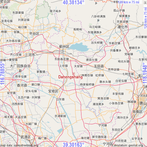
Dahengshang GPS coordinates[2]
39° 50' 36.996" North, 117° 29' 30.012" East
| Map corner | latitude | longitude |
|---|---|---|
| Upper-left | 40.38134°, | 116.78855° |
| Center: | 39.84361°, | 117.49167° |
| Lower-right: | 39.30163°, | 118.1948° |
| Map W x H: | 120.1×120.1 km | = 74.6×74.6mi |
| max Lat: | 53.31946° ⇑14.1% North |
| Dahengshang: | 39.84361° |
| min Lat: | ⇓85.9% South 18.22056° |
| min Long | Dahengshang | max Long |
| 75.07348° | 117.49167° | 134.28917° |
| W 68.7%⇐ | ⇒31.3% E |
Elevation
Elevation of Dahengshang is 5 m = 16 ft, and this is 479.8 m = 1574 ft below average elevation for this country.
| Max E: |
5622 m = 18445 ft | 97.2% |
| Avg. | 484.8 m = 1591 ft | |
| Dahengshang | 5 m = 16 ft | |
Min E: |
-3 m = -10 ft | 2.8% |
See also: China elevation on elevation.city.
Geographical zone
Dahengshang is located in North temperate zone (between Tropic of Cancer and the Arctic Circle). Distance of this Northern Tropic circle is 1824.3 km =1133.6 mi to South.| Distance of | km | miles | from Dahengshang |
|---|---|---|---|
| North Pole | 5576.9 | 3465.3 | to North |
| Arctic Circle | 2971 | 1846.1 | to North |
| Tropic Cancer | 1824.3 | 1133.6 | to South |
| Equator | 4430.2 | 2752.8 | to South |


Nearby cities:
15 places around Dahengshang: (largest is in red/bold)
• Beitan
10.3 km =6.4 mi,  202°
202°
• Dabao’anzhen
6.3 km =3.9 mi,  348°
348°
• Dayanggezhuang
6.4 km =4 mi,  244°
244°
• Dongshigu
14.3 km =8.9 mi,  285°
285°
• Dongtazhuang
14.3 km =8.9 mi, 292°
• Dongzhaogezhuang
15.6 km =9.7 mi,  318°
318°
• Fangjiazhuang
14 km =8.7 mi,  205°
205°
• Huogezhuang
15.3 km =9.5 mi,  223°
223°
• Liuzikou
12.7 km =7.9 mi,  283°
283°
• Mengquan
2.4 km =1.5 mi, 212°
• Sanchakou
16.2 km =10.1 mi,  246°
246°
• Shangcang
10.8 km =6.7 mi,  305°
305°
• Xiacang
9 km =5.6 mi,  225°
225°
• Xin’anzhen
10.8 km =6.7 mi,  160°
160°
• Yangjinzhuang
9.2 km =5.7 mi,  299°
299°
Sources, notices
• [Note1] Compared only with cities in China existing in our database
• [Src1] Map data: © OpenStreetMap contributors (CC-BY-SA)
• [Src2] Other city data from geonames.org with taken over terms of usage.
• [Src3] Geographical zone / Annual Mean Temperature by Robert A. Rohde @ Wikipedia
