Chuanbu geodata
Chuanbu (Guangdong) is a seat of a fourth-order administrative division; located in China in Asia/Shanghai (GMT+8) time zone. In our database, there are 1268 cities with bigger population. Compared to other cities in China, 96% of cities are located further ↑North; 64.4% of cities are located further →East and 66.6% of cities have higher elevation than Chuanbu. Note1


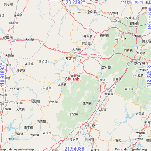
Chuanbu GPS coordinates[2]
22° 35' 29.652" North, 111° 37' 19.38" East
| Map corner | latitude | longitude |
|---|---|---|
| Upper-left | 23.2392°, | 110.91893° |
| Center: | 22.59157°, | 111.62205° |
| Lower-right: | 21.94088°, | 112.32518° |
| Map W x H: | 144.4×144.4 km | = 89.7×89.7mi |
| max Lat: | 53.31946° ⇑96% North |
| Chuanbu: | 22.59157° |
| min Lat: | ⇓4% South 18.22056° |
| min Long | Chuanbu | max Long |
| 75.07348° | 111.62205° | 134.28917° |
| W 35.6%⇐ | ⇒64.4% E |
Elevation
Elevation of Chuanbu is 66 m = 217 ft, and this is 418.8 m = 1374 ft below average elevation for this country.
| Max E: |
5622 m = 18445 ft | 66.6% |
| Avg. | 484.8 m = 1591 ft | |
| Chuanbu | 66 m = 217 ft | |
Min E: |
-3 m = -10 ft | 33.4% |
See also: China elevation on elevation.city.
Geographical zone
Chuanbu is located in North Torrid zone (between Equator and Tropic of Cancer). Distance of this Northern Tropic circle is 94 km =58.4 mi to North.| Distance of | km | miles | from Chuanbu |
|---|---|---|---|
| North Pole | 7495.1 | 4657.2 | to North |
| Arctic Circle | 4889.2 | 3038 | to North |
| Tropic Cancer | 94 | 58.4 | to North |
| Equator | 2511.9 | 1560.8 | to South |


Nearby cities:
15 places around Chuanbu: (largest is in red/bold)
• Bingtang
9.3 km =5.8 mi,  67°
67°
• Chengdong
18.5 km =11.5 mi,  353°
353°
• Chengxi
20.4 km =12.7 mi,  331°
331°
• Fucheng
21.9 km =13.6 mi, 345°
• Huashi
20.5 km =12.7 mi,  18°
18°
• Lianzhou
19.9 km =12.4 mi,  284°
284°
• Lishao
21.8 km =13.5 mi,  310°
310°
• Luocheng
20.5 km =12.7 mi,  344°
344°
• Luojing
19.1 km =11.9 mi,  253°
253°
• Luoping
6.8 km =4.2 mi,  303°
303°
• Shengjiang
17.3 km =10.7 mi,  318°
318°
• Sihe
13.7 km =8.5 mi,  196°
196°
• Sulong
14 km =8.7 mi, 354°
• Taiping
15.1 km =9.4 mi,  237°
237°
• Weidi
14.3 km =8.9 mi, 18°
Sources, notices
• [Note1] Compared only with cities in China existing in our database
• [Src1] Map data: © OpenStreetMap contributors (CC-BY-SA)
• [Src2] Other city data from geonames.org with taken over terms of usage.
• [Src3] Geographical zone / Annual Mean Temperature by Robert A. Rohde @ Wikipedia
