Chaodi geodata
Chaodi (Guizhou) is a seat of a fourth-order administrative division; located in China in Asia/Shanghai (GMT+8) time zone. In our database, there are 1268 cities with bigger population. Compared to other cities in China, 73.3% of cities are located further ↑North; 79.7% of cities are located further →East and 72.9% of cities have lower elevation than Chaodi. Note1


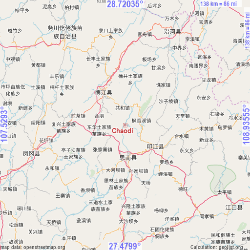
Chaodi GPS coordinates[2]
28° 6' 6.912" North, 108° 13' 56.712" East
| Map corner | latitude | longitude |
|---|---|---|
| Upper-left | 28.72035°, | 107.5293° |
| Center: | 28.10192°, | 108.23242° |
| Lower-right: | 27.4799°, | 108.93555° |
| Map W x H: | 137.9×137.9 km | = 85.7×85.7mi |
| max Lat: | 53.31946° ⇑73.3% North |
| Chaodi: | 28.10192° |
| min Lat: | ⇓26.7% South 18.22056° |
| min Long | Chaodi | max Long |
| 75.07348° | 108.23242° | 134.28917° |
| W 20.3%⇐ | ⇒79.7% E |
Elevation
Elevation of Chaodi is 474 m = 1555 ft, and this is 10.8 m = 35 ft below average elevation for this country.
| Max E: |
5622 m = 18445 ft | 27.1% |
| Avg. | 484.8 m = 1591 ft | |
| Chaodi | 474 m = 1555 ft | |
Min E: |
-3 m = -10 ft | 72.9% |
See also: China elevation on elevation.city.
Geographical zone
Chaodi is located in North temperate zone (between Tropic of Cancer and the Arctic Circle). Distance of this Northern Tropic circle is 518.7 km =322.3 mi to South.| Distance of | km | miles | from Chaodi |
|---|---|---|---|
| North Pole | 6882.4 | 4276.5 | to North |
| Arctic Circle | 4276.5 | 2657.3 | to North |
| Tropic Cancer | 518.7 | 322.3 | to South |
| Equator | 3124.6 | 1941.5 | to South |


Nearby cities:
15 places around Chaodi: (largest is in red/bold)
• Banxi
23.4 km =14.5 mi,  97°
97°
• Changbao
10.7 km =6.6 mi,  24°
24°
• Donghua
14.4 km =8.9 mi,  260°
260°
• Eling
20 km =12.4 mi,  124°
124°
• Fengxiangxi
9.4 km =5.8 mi,  72°
72°
• Gonghe
11 km =6.8 mi,  351°
351°
• Hexing
16.7 km =10.4 mi,  269°
269°
• Jiancha
26 km =16.2 mi,  281°
281°
• Kuanping
22.8 km =14.2 mi,  247°
247°
• Longquan
25.6 km =15.9 mi,  311°
311°
• Qinglong
21.4 km =13.3 mi,  326°
326°
• Shanshu
17.6 km =10.9 mi,  86°
86°
• Wenping
23.6 km =14.7 mi,  356°
356°
• Yantang
18.4 km =11.4 mi,  317°
317°
• Zhongba
13.1 km =8.1 mi,  130°
130°
Sources, notices
• [Note1] Compared only with cities in China existing in our database
• [Src1] Map data: © OpenStreetMap contributors (CC-BY-SA)
• [Src2] Other city data from geonames.org with taken over terms of usage.
• [Src3] Geographical zone / Annual Mean Temperature by Robert A. Rohde @ Wikipedia
