Changkou geodata
Changkou (Zhejiang) is a seat of a fourth-order administrative division; located in China in Asia/Shanghai (GMT+8) time zone. In our database, there are 1268 cities with bigger population. Compared to other cities in China, 54.9% of cities are located further ↑North; 81.1% of cities are located further ←West and 84.9% of cities have higher elevation than Changkou. Note1


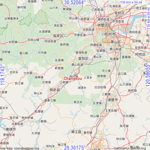
Changkou GPS coordinates[2]
29° 54' 47.016" North, 119° 52' 38.712" East
| Map corner | latitude | longitude |
|---|---|---|
| Upper-left | 30.52064°, | 119.1743° |
| Center: | 29.91306°, | 119.87742° |
| Lower-right: | 29.30175°, | 120.58055° |
| Map W x H: | 135.5×135.5 km | = 84.2×84.2mi |
| max Lat: | 53.31946° ⇑54.9% North |
| Changkou: | 29.91306° |
| min Lat: | ⇓45.1% South 18.22056° |
| min Long | Changkou | max Long |
| 75.07348° | 119.87742° | 134.28917° |
| W 81.1%⇐ | ⇒18.9% E |
Elevation
Elevation of Changkou is 16 m = 52 ft, and this is 468.8 m = 1538 ft below average elevation for this country.
| Max E: |
5622 m = 18445 ft | 84.9% |
| Avg. | 484.8 m = 1591 ft | |
| Changkou | 16 m = 52 ft | |
Min E: |
-3 m = -10 ft | 15.1% |
See also: China elevation on elevation.city.
Geographical zone
Changkou is located in North temperate zone (between Tropic of Cancer and the Arctic Circle). Distance of this Northern Tropic circle is 720.1 km =447.4 mi to South.| Distance of | km | miles | from Changkou |
|---|---|---|---|
| North Pole | 6681 | 4151.4 | to North |
| Arctic Circle | 4075.2 | 2532.2 | to North |
| Tropic Cancer | 720.1 | 447.4 | to South |
| Equator | 3326 | 2066.7 | to South |


Nearby cities:
15 places around Changkou: (largest is in red/bold)
• Chunjian
18.8 km =11.7 mi,  344°
344°
• Chunjing
15.8 km =9.8 mi,  31°
31°
• Dayuan
15.4 km =9.6 mi,  47°
47°
• Fengchuan
15.1 km =9.4 mi,  221°
221°
• Fuyang
17.2 km =10.7 mi,  24°
24°
• Huanshan
5 km =3.1 mi,  65°
65°
• Huyuan
12.8 km =8 mi,  149°
149°
• Lingqiao
19.6 km =12.2 mi, 48°
• Longmen
6.8 km =4.2 mi,  99°
99°
• Lushan
11 km =6.8 mi,  13°
13°
• Shen’ao
7.8 km =4.8 mi,  211°
211°
• Shifu
12 km =7.5 mi,  229°
229°
• Xindeng
15.7 km =9.8 mi,  294°
294°
• Xintong
6.1 km =3.8 mi,  263°
263°
• Zhaixi
12.1 km =7.5 mi,  246°
246°
Sources, notices
• [Note1] Compared only with cities in China existing in our database
• [Src1] Map data: © OpenStreetMap contributors (CC-BY-SA)
• [Src2] Other city data from geonames.org with taken over terms of usage.
• [Src3] Geographical zone / Annual Mean Temperature by Robert A. Rohde @ Wikipedia
