Baiju geodata
Baiju (Jiangsu) is a seat of a fourth-order administrative division; located in China in Asia/Shanghai (GMT+8) time zone. In our database, there are 1268 cities with bigger population. Compared to other cities in China, 66.4% of cities are located further ↓South; 83.9% of cities are located further ←West and 98.3% of cities have higher elevation than Baiju. Note1


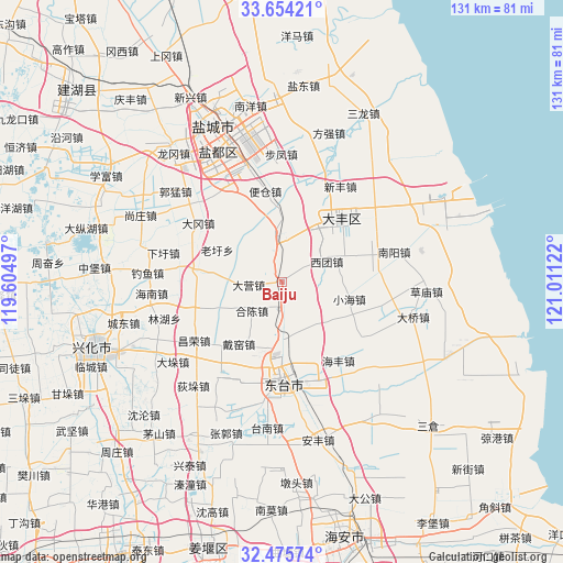
Baiju GPS coordinates[2]
33° 4' 1.02" North, 120° 18' 29.124" East
| Map corner | latitude | longitude |
|---|---|---|
| Upper-left | 33.65421°, | 119.60497° |
| Center: | 33.06695°, | 120.30809° |
| Lower-right: | 32.47574°, | 121.01122° |
| Map W x H: | 131×131 km | = 81.4×81.4mi |
| max Lat: | 53.31946° ⇑33.6% North |
| Baiju: | 33.06695° |
| min Lat: | ⇓66.4% South 18.22056° |
| min Long | Baiju | max Long |
| 75.07348° | 120.30809° | 134.28917° |
| W 83.9%⇐ | ⇒16.1% E |
Elevation
Elevation of Baiju is 4 m = 13 ft, and this is 480.8 m = 1577 ft below average elevation for this country.
| Max E: |
5622 m = 18445 ft | 98.3% |
| Avg. | 484.8 m = 1591 ft | |
| Baiju | 4 m = 13 ft | |
Min E: |
-3 m = -10 ft | 1.7% |
See also: China elevation on elevation.city.
Geographical zone
Baiju is located in North temperate zone (between Tropic of Cancer and the Arctic Circle). Distance of this Northern Tropic circle is 1070.8 km =665.4 mi to South.| Distance of | km | miles | from Baiju |
|---|---|---|---|
| North Pole | 6330.4 | 3933.5 | to North |
| Arctic Circle | 3724.5 | 2314.3 | to North |
| Tropic Cancer | 1070.8 | 665.4 | to South |
| Equator | 3676.7 | 2284.6 | to South |


Nearby cities:
15 places around Baiju: (largest is in red/bold)
• Anfeng
19.9 km =12.4 mi,  277°
277°
• Caoyan
13.3 km =8.3 mi,  185°
185°
• Changrong
25.2 km =15.7 mi,  237°
237°
• Daiyao
17.6 km =10.9 mi,  209°
209°
• Dazhong
20.3 km =12.6 mi,  43°
43°
• Dongtai
23.9 km =14.9 mi,  179°
179°
• Guanyinsi
12.2 km =7.6 mi, 280°
• Haifeng
22.5 km =14 mi,  144°
144°
• Hechen
9.5 km =5.9 mi,  224°
224°
• Lianyi
19.7 km =12.2 mi,  199°
199°
• Liuzhuang
8 km =5 mi,  349°
349°
• Wanying
24.6 km =15.3 mi,  94°
94°
• Wulie
23.9 km =14.9 mi, 194°
• Xiaohai
16.2 km =10.1 mi,  104°
104°
• Xituan
11.3 km =7 mi,  65°
65°
Sources, notices
• [Note1] Compared only with cities in China existing in our database
• [Src1] Map data: © OpenStreetMap contributors (CC-BY-SA)
• [Src2] Other city data from geonames.org with taken over terms of usage.
• [Src3] Geographical zone / Annual Mean Temperature by Robert A. Rohde @ Wikipedia
