Anyi geodata
Anyi (Shanxi) is a seat of a fourth-order administrative division; located in China in Asia/Shanghai (GMT+8) time zone. In our database, there are 1268 cities with bigger population. Compared to other cities in China, 75.2% of cities are located further ↓South; 66.9% of cities are located further →East and 67% of cities have lower elevation than Anyi. Note1


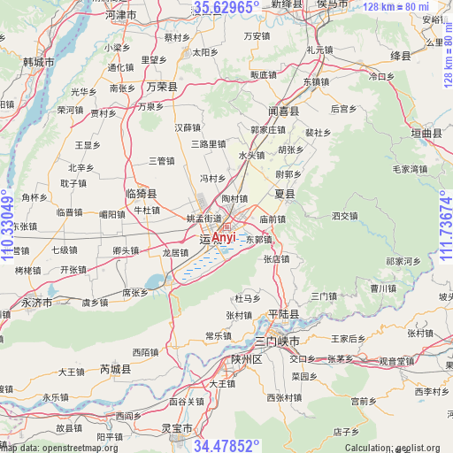
Anyi GPS coordinates[2]
35° 3' 21.996" North, 111° 2' 0.996" East
| Map corner | latitude | longitude |
|---|---|---|
| Upper-left | 35.62965°, | 110.33049° |
| Center: | 35.05611°, | 111.03361° |
| Lower-right: | 34.47852°, | 111.73674° |
| Map W x H: | 128×128 km | = 79.5×79.5mi |
| max Lat: | 53.31946° ⇑24.8% North |
| Anyi: | 35.05611° |
| min Lat: | ⇓75.2% South 18.22056° |
| min Long | Anyi | max Long |
| 75.07348° | 111.03361° | 134.28917° |
| W 33.1%⇐ | ⇒66.9% E |
Elevation
Elevation of Anyi is 359 m = 1178 ft, and this is 125.8 m = 413 ft below average elevation for this country.
| Max E: |
5622 m = 18445 ft | 33% |
| Avg. | 484.8 m = 1591 ft | |
| Anyi | 359 m = 1178 ft | |
Min E: |
-3 m = -10 ft | 67% |
See also: China elevation on elevation.city.
Geographical zone
Anyi is located in North temperate zone (between Tropic of Cancer and the Arctic Circle). Distance of this Northern Tropic circle is 1292 km =802.8 mi to South.| Distance of | km | miles | from Anyi |
|---|---|---|---|
| North Pole | 6109.2 | 3796.1 | to North |
| Arctic Circle | 3503.3 | 2176.8 | to North |
| Tropic Cancer | 1292 | 802.8 | to South |
| Equator | 3897.9 | 2422 | to South |


Nearby cities:
15 places around Anyi: (largest is in red/bold)
• Daying
37.7 km =23.4 mi,  170°
170°
• Guojiazhuang
30 km =18.6 mi,  22°
22°
• Hedi
42.6 km =26.5 mi,  43°
43°
• Hougong
47.1 km =29.3 mi, 44°
• Nanjie
48.2 km =30 mi,  31°
31°
• Peishe
37.3 km =23.2 mi, 44°
• Shenbai
36.1 km =22.4 mi, 16°
• Shengrenjian
27.6 km =17.1 mi,  148°
148°
• Tongcheng
37.1 km =23.1 mi, 26°
• Xiedian
46 km =28.6 mi,  334°
334°
• Yangyu
40.8 km =25.4 mi,  7°
7°
• Yaofeng
18.7 km =11.6 mi,  60°
60°
• Yishi
28.8 km =17.9 mi,  294°
294°
• Yuncheng
5.2 km =3.2 mi,  225°
225°
• Zhongwadi
44.4 km =27.6 mi, 14°
Sources, notices
• [Note1] Compared only with cities in China existing in our database
• [Src1] Map data: © OpenStreetMap contributors (CC-BY-SA)
• [Src2] Other city data from geonames.org with taken over terms of usage.
• [Src3] Geographical zone / Annual Mean Temperature by Robert A. Rohde @ Wikipedia
