Anlu geodata
Anlu (Hubei) is a seat of a third-order administrative division; located in China in Asia/Shanghai (GMT+8) time zone. With population of 71,198 people, there are 601 cities with bigger population in this country. Compared to other cities in China, 56.7% of cities are located further ↓South; 53.2% of cities are located further →East and 70.8% of cities have higher elevation than Anlu. Note1


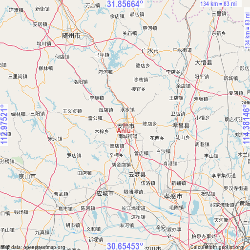
Anlu GPS coordinates[2]
31° 15' 27" North, 113° 40' 41.988" East
| Map corner | latitude | longitude |
|---|---|---|
| Upper-left | 31.85664°, | 112.97521° |
| Center: | 31.2575°, | 113.67833° |
| Lower-right: | 30.65453°, | 114.38146° |
| Map W x H: | 133.7×133.7 km | = 83.1×83.1mi |
| max Lat: | 53.31946° ⇑43.3% North |
| Anlu: | 31.2575° |
| min Lat: | ⇓56.7% South 18.22056° |
| min Long | Anlu | max Long |
| 75.07348° | 113.67833° | 134.28917° |
| W 46.8%⇐ | ⇒53.2% E |
Elevation
Elevation of Anlu is 49 m = 161 ft, and this is 435.8 m = 1430 ft below average elevation for this country.
| Max E: |
5622 m = 18445 ft | 70.8% |
| Avg. | 484.8 m = 1591 ft | |
| Anlu | 49 m = 161 ft | |
Min E: |
-3 m = -10 ft | 29.2% |
See also: Anlu elevation on elevation.city.
Geographical zone
Anlu is located in North temperate zone (between Tropic of Cancer and the Arctic Circle). Distance of this Northern Tropic circle is 869.6 km =540.3 mi to South.| Distance of | km | miles | from Anlu |
|---|---|---|---|
| North Pole | 6531.6 | 4058.5 | to North |
| Arctic Circle | 3925.7 | 2439.3 | to North |
| Tropic Cancer | 869.6 | 540.3 | to South |
| Equator | 3475.5 | 2159.6 | to South |


Nearby cities:
15 places around Anlu: (largest is in red/bold)
• Chendian
13.3 km =8.3 mi,  84°
84°
• Daodian
9.3 km =5.8 mi,  150°
150°
• Fushui
8.8 km =5.5 mi,  8°
8°
• Huaxi
18.4 km =11.4 mi,  110°
110°
• Leigong
16.4 km =10.2 mi,  284°
284°
• Lidian
8.9 km =5.5 mi,  121°
121°
• Muzi
12.9 km =8 mi,  255°
255°
• Nancheng
5.8 km =3.6 mi,  162°
162°
• Pinglin
18.9 km =11.7 mi,  338°
338°
• Tangdi
9 km =5.6 mi, 256°
• Xinzha
16.3 km =10.1 mi,  196°
196°
• Xundian
11.4 km =7.1 mi, 201°
• Yandian
13.7 km =8.5 mi,  309°
309°
• Yitang
18.2 km =11.3 mi,  172°
172°
• Zengdian
17.1 km =10.6 mi, 149°
Sources, notices
• [Note1] Compared only with cities in China existing in our database
• [Src1] Map data: © OpenStreetMap contributors (CC-BY-SA)
• [Src2] Other city data from geonames.org with taken over terms of usage.
• [Src3] Geographical zone / Annual Mean Temperature by Robert A. Rohde @ Wikipedia
