Anfeng geodata
Anfeng (Jiangsu) is a seat of a fourth-order administrative division; located in China in Asia/Shanghai (GMT+8) time zone. In our database, there are 1268 cities with bigger population. Compared to other cities in China, 64.9% of cities are located further ↓South; 84.5% of cities are located further ←West and 98.3% of cities have higher elevation than Anfeng. Note1


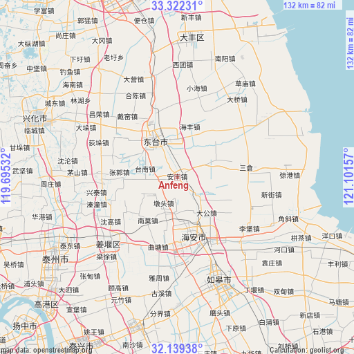
Anfeng GPS coordinates[2]
32° 43' 58.116" North, 120° 23' 54.384" East
| Map corner | latitude | longitude |
|---|---|---|
| Upper-left | 33.32231°, | 119.69532° |
| Center: | 32.73281°, | 120.39844° |
| Lower-right: | 32.13938°, | 121.10157° |
| Map W x H: | 131.5×131.5 km | = 81.7×81.7mi |
| max Lat: | 53.31946° ⇑35.1% North |
| Anfeng: | 32.73281° |
| min Lat: | ⇓64.9% South 18.22056° |
| min Long | Anfeng | max Long |
| 75.07348° | 120.39844° | 134.28917° |
| W 84.5%⇐ | ⇒15.5% E |
Elevation
Elevation of Anfeng is 4 m = 13 ft, and this is 480.8 m = 1577 ft below average elevation for this country.
| Max E: |
5622 m = 18445 ft | 98.3% |
| Avg. | 484.8 m = 1591 ft | |
| Anfeng | 4 m = 13 ft | |
Min E: |
-3 m = -10 ft | 1.7% |
See also: China elevation on elevation.city.
Geographical zone
Anfeng is located in North temperate zone (between Tropic of Cancer and the Arctic Circle). Distance of this Northern Tropic circle is 1033.6 km =642.2 mi to South.| Distance of | km | miles | from Anfeng |
|---|---|---|---|
| North Pole | 6367.5 | 3956.6 | to North |
| Arctic Circle | 3761.6 | 2337.3 | to North |
| Tropic Cancer | 1033.6 | 642.2 | to South |
| Equator | 3639.5 | 2261.5 | to South |


Nearby cities:
15 places around Anfeng: (largest is in red/bold)
• Baidian
14.9 km =9.3 mi,  242°
242°
• Dagong
17.2 km =10.7 mi,  139°
139°
• Dongtai
15.7 km =9.8 mi,  327°
327°
• Duntou
10.7 km =6.6 mi,  206°
206°
• Fudong
15 km =9.3 mi,  95°
95°
• Fu’an
9.4 km =5.8 mi,  130°
130°
• Guangshan
19.4 km =12.1 mi,  294°
294°
• Haifeng
19.5 km =12.1 mi,  14°
14°
• Hougang
14.4 km =8.9 mi,  249°
249°
• Liangduo
5.8 km =3.6 mi, 326°
• Nanmo
19.1 km =11.9 mi,  216°
216°
• Nanshenzao
13.8 km =8.6 mi,  65°
65°
• Sanzao
10.4 km =6.5 mi, 334°
• Sizao
14.3 km =8.9 mi,  24°
24°
• Tainan
12.5 km =7.8 mi, 285°
Sources, notices
• [Note1] Compared only with cities in China existing in our database
• [Src1] Map data: © OpenStreetMap contributors (CC-BY-SA)
• [Src2] Other city data from geonames.org with taken over terms of usage.
• [Src3] Geographical zone / Annual Mean Temperature by Robert A. Rohde @ Wikipedia
