Longqiao geodata
Longqiao (Hainan) is a seat of a fourth-order administrative division; located in China in Asia/Shanghai (GMT+8) time zone. In our database, there are 1268 cities with bigger population. Compared to other cities in China, 98.8% of cities are located further ↑North; 69.7% of cities are located further →East and 76.2% of cities have higher elevation than Longqiao. Note1


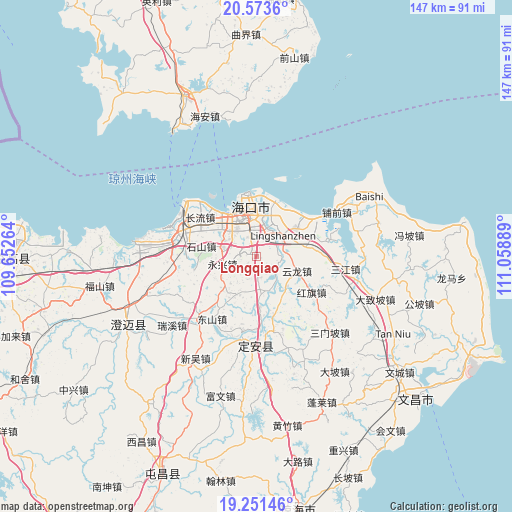
Longqiao GPS coordinates[2]
19° 54' 50.076" North, 110° 21' 20.736" East
| Map corner | latitude | longitude |
|---|---|---|
| Upper-left | 20.5736°, | 109.65264° |
| Center: | 19.91391°, | 110.35576° |
| Lower-right: | 19.25146°, | 111.05889° |
| Map W x H: | 147×147 km | = 91.3×91.3mi |
| max Lat: | 53.31946° ⇑98.8% North |
| Longqiao: | 19.91391° |
| min Lat: | ⇓1.2% South 18.22056° |
| min Long | Longqiao | max Long |
| 75.07348° | 110.35576° | 134.28917° |
| W 30.3%⇐ | ⇒69.7% E |
Elevation
Elevation of Longqiao is 34 m = 112 ft, and this is 450.8 m = 1479 ft below average elevation for this country.
| Max E: |
5622 m = 18445 ft | 76.2% |
| Avg. | 484.8 m = 1591 ft | |
| Longqiao | 34 m = 112 ft | |
Min E: |
-3 m = -10 ft | 23.8% |
See also: China elevation on elevation.city.
Geographical zone
Longqiao is located in North Torrid zone (between Equator and Tropic of Cancer). Distance of this Northern Tropic circle is 391.7 km =243.4 mi to North.| Distance of | km | miles | from Longqiao |
|---|---|---|---|
| North Pole | 7792.8 | 4842.2 | to North |
| Arctic Circle | 5187 | 3223.1 | to North |
| Tropic Cancer | 391.7 | 243.4 | to North |
| Equator | 2214.2 | 1375.8 | to South |


Nearby cities:
15 places around Longqiao: (largest is in red/bold)
• Dongying
16.6 km =10.3 mi,  21°
21°
• Haikou
14.7 km =9.1 mi,  354°
354°
• Haixiu
13.6 km =8.5 mi,  322°
322°
• Hongqi
18.9 km =11.7 mi,  123°
123°
• Jiuzhou
16.7 km =10.4 mi,  161°
161°
• Lingshan
9.7 km =6 mi,  50°
50°
• Longtang
6.6 km =4.1 mi, 119°
• Mei’an
18.2 km =11.3 mi,  257°
257°
• Qiongshan
10.2 km =6.3 mi,  359°
359°
• Shishan
16 km =9.9 mi,  278°
278°
• Xinpo
15.9 km =9.9 mi,  176°
176°
• Xiuying
11.6 km =7.2 mi,  326°
326°
• Yongxing
10 km =6.2 mi, 257°
• Yunlong
12.4 km =7.7 mi,  109°
109°
• Zuntan
12.5 km =7.8 mi,  208°
208°
Sources, notices
• [Note1] Compared only with cities in China existing in our database
• [Src1] Map data: © OpenStreetMap contributors (CC-BY-SA)
• [Src2] Other city data from geonames.org with taken over terms of usage.
• [Src3] Geographical zone / Annual Mean Temperature by Robert A. Rohde @ Wikipedia
