Baying geodata
Baying (Jiangxi) is a seat of a fourth-order administrative division; located in China in Asia/Shanghai (GMT+8) time zone. In our database, there are 1268 cities with bigger population. Compared to other cities in China, 83.7% of cities are located further ↑North; 59.8% of cities are located further ←West and 61.8% of cities have lower elevation than Baying. Note1


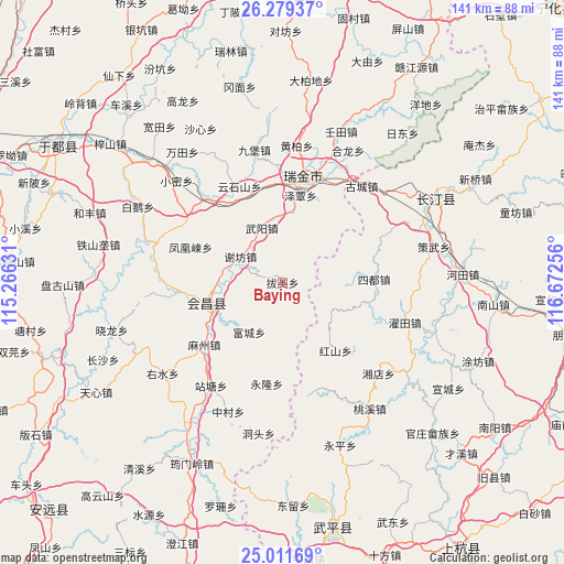
Baying GPS coordinates[2]
25° 38' 49.956" North, 115° 58' 9.948" East
| Map corner | latitude | longitude |
|---|---|---|
| Upper-left | 26.27937°, | 115.26631° |
| Center: | 25.64721°, | 115.96943° |
| Lower-right: | 25.01169°, | 116.67256° |
| Map W x H: | 141×141 km | = 87.6×87.6mi |
| max Lat: | 53.31946° ⇑83.7% North |
| Baying: | 25.64721° |
| min Lat: | ⇓16.3% South 18.22056° |
| min Long | Baying | max Long |
| 75.07348° | 115.96943° | 134.28917° |
| W 59.8%⇐ | ⇒40.2% E |
Elevation
Elevation of Baying is 280 m = 919 ft, and this is 204.8 m = 672 ft below average elevation for this country.
| Max E: |
5622 m = 18445 ft | 38.2% |
| Avg. | 484.8 m = 1591 ft | |
| Baying | 280 m = 919 ft | |
Min E: |
-3 m = -10 ft | 61.8% |
See also: China elevation on elevation.city.
Geographical zone
Baying is located in North temperate zone (between Tropic of Cancer and the Arctic Circle). Distance of this Northern Tropic circle is 245.8 km =152.7 mi to South.| Distance of | km | miles | from Baying |
|---|---|---|---|
| North Pole | 7155.4 | 4446.2 | to North |
| Arctic Circle | 4549.5 | 2826.9 | to North |
| Tropic Cancer | 245.8 | 152.7 | to South |
| Equator | 2851.7 | 1772 | to South |


Nearby cities:
15 places around Baying: (largest is in red/bold)
• Fenghuangdong
24.5 km =15.2 mi,  291°
291°
• Fucheng
14.8 km =9.2 mi,  213°
213°
• Hongshan
21.6 km =13.4 mi,  141°
141°
• Huichang
19.9 km =12.4 mi,  254°
254°
• Mazhou
24.8 km =15.4 mi,  231°
231°
• Shazhouba
26.5 km =16.5 mi,  5°
5°
• Sidu
23 km =14.3 mi,  87°
87°
• Wenwuba
18 km =11.2 mi, 254°
• Wuyang
14.4 km =8.9 mi,  339°
339°
• Xianghu
17.3 km =10.7 mi, 10°
• Xiefang
12.3 km =7.6 mi,  302°
302°
• Yonglong
25.8 km =16 mi,  188°
188°
• Yunshishan
26.4 km =16.4 mi, 336°
• Zeqin
22.3 km =13.9 mi, 11°
• Zhulan
26 km =16.2 mi,  264°
264°
Sources, notices
• [Note1] Compared only with cities in China existing in our database
• [Src1] Map data: © OpenStreetMap contributors (CC-BY-SA)
• [Src2] Other city data from geonames.org with taken over terms of usage.
• [Src3] Geographical zone / Annual Mean Temperature by Robert A. Rohde @ Wikipedia
