Luhuatan geodata
Luhuatan (Hunan) is a seat of a fourth-order administrative division; located in China in Asia/Shanghai (GMT+8) time zone. In our database, there are 1268 cities with bigger population. Compared to other cities in China, 68.3% of cities are located further ↑North; 65.4% of cities are located further →East and 61.1% of cities have higher elevation than Luhuatan. Note1


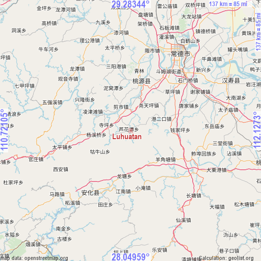
Luhuatan GPS coordinates[2]
28° 40' 5.988" North, 111° 25' 27.012" East
| Map corner | latitude | longitude |
|---|---|---|
| Upper-left | 29.28344°, | 110.72105° |
| Center: | 28.66833°, | 111.42417° |
| Lower-right: | 28.04959°, | 112.1273° |
| Map W x H: | 137.2×137.2 km | = 85.3×85.3mi |
| max Lat: | 53.31946° ⇑68.3% North |
| Luhuatan: | 28.66833° |
| min Lat: | ⇓31.7% South 18.22056° |
| min Long | Luhuatan | max Long |
| 75.07348° | 111.42417° | 134.28917° |
| W 34.6%⇐ | ⇒65.4% E |
Elevation
Elevation of Luhuatan is 92 m = 302 ft, and this is 392.8 m = 1289 ft below average elevation for this country.
| Max E: |
5622 m = 18445 ft | 61.1% |
| Avg. | 484.8 m = 1591 ft | |
| Luhuatan | 92 m = 302 ft | |
Min E: |
-3 m = -10 ft | 38.9% |
See also: China elevation on elevation.city.
Geographical zone
Luhuatan is located in North temperate zone (between Tropic of Cancer and the Arctic Circle). Distance of this Northern Tropic circle is 581.7 km =361.5 mi to South.| Distance of | km | miles | from Luhuatan |
|---|---|---|---|
| North Pole | 6819.4 | 4237.4 | to North |
| Arctic Circle | 4213.6 | 2618.2 | to North |
| Tropic Cancer | 581.7 | 361.5 | to South |
| Equator | 3187.6 | 1980.7 | to South |


Nearby cities:
15 places around Luhuatan: (largest is in red/bold)
• Changmaoling
21.8 km =13.5 mi,  53°
53°
• Cha’anpu
26.4 km =16.4 mi,  261°
261°
• Dingjiagang
27 km =16.8 mi,  29°
29°
• Guniushan
20.9 km =13 mi,  229°
229°
• Huangtudian
26.1 km =16.2 mi,  74°
74°
• Longtang
25.2 km =15.7 mi,  184°
184°
• Nijiangping
9.7 km =6 mi, 68°
• Qianjiaping
27.4 km =17 mi,  91°
91°
• Qinglin
32.1 km =19.9 mi,  7°
7°
• Shenshuigang
27.6 km =17.1 mi,  354°
354°
• Siping
12.5 km =7.8 mi,  281°
281°
• Taohuayuan
12 km =7.5 mi, 9°
• Xujiaqiao
31.4 km =19.5 mi, 29°
• Yangjiaotang
24.3 km =15.1 mi,  127°
127°
• Zhangjiang
27.5 km =17.1 mi, 11°
Sources, notices
• [Note1] Compared only with cities in China existing in our database
• [Src1] Map data: © OpenStreetMap contributors (CC-BY-SA)
• [Src2] Other city data from geonames.org with taken over terms of usage.
• [Src3] Geographical zone / Annual Mean Temperature by Robert A. Rohde @ Wikipedia
