Baiyang geodata
Baiyang (Hunan) is a seat of a fourth-order administrative division; located in China in Asia/Shanghai (GMT+8) time zone. In our database, there are 1268 cities with bigger population. Compared to other cities in China, 67.1% of cities are located further ↑North; 72.6% of cities are located further →East and 65.7% of cities have lower elevation than Baiyang. Note1


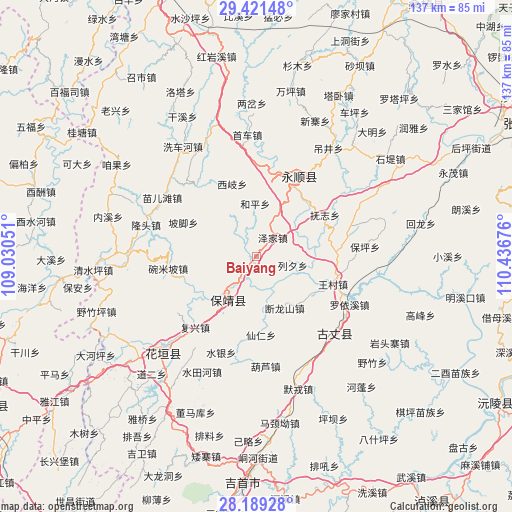
Baiyang GPS coordinates[2]
28° 48' 25.92" North, 109° 44' 1.068" East
| Map corner | latitude | longitude |
|---|---|---|
| Upper-left | 29.42148°, | 109.03051° |
| Center: | 28.8072°, | 109.73363° |
| Lower-right: | 28.18928°, | 110.43676° |
| Map W x H: | 137×137 km | = 85.1×85.1mi |
| max Lat: | 53.31946° ⇑67.1% North |
| Baiyang: | 28.8072° |
| min Lat: | ⇓32.9% South 18.22056° |
| min Long | Baiyang | max Long |
| 75.07348° | 109.73363° | 134.28917° |
| W 27.4%⇐ | ⇒72.6% E |
Elevation
Elevation of Baiyang is 338 m = 1109 ft, and this is 146.8 m = 482 ft below average elevation for this country.
| Max E: |
5622 m = 18445 ft | 34.3% |
| Avg. | 484.8 m = 1591 ft | |
| Baiyang | 338 m = 1109 ft | |
Min E: |
-3 m = -10 ft | 65.7% |
See also: China elevation on elevation.city.
Geographical zone
Baiyang is located in North temperate zone (between Tropic of Cancer and the Arctic Circle). Distance of this Northern Tropic circle is 597.1 km =371 mi to South.| Distance of | km | miles | from Baiyang |
|---|---|---|---|
| North Pole | 6804 | 4227.8 | to North |
| Arctic Circle | 4198.1 | 2608.6 | to North |
| Tropic Cancer | 597.1 | 371 | to South |
| Equator | 3203.1 | 1990.3 | to South |


Nearby cities:
15 places around Baiyang: (largest is in red/bold)
• Angdong
15.4 km =9.6 mi,  253°
253°
• Daba
15.4 km =9.6 mi,  24°
24°
• Duanlongshan
15.7 km =9.8 mi,  151°
151°
• Duishan
13.7 km =8.5 mi,  327°
327°
• Fuzhiping
20.9 km =13 mi,  61°
61°
• Heping
14.2 km =8.8 mi,  358°
358°
• Liexi
9.9 km =6.2 mi,  103°
103°
• Longxi
9.9 km =6.2 mi,  221°
221°
• Meihua
14 km =8.7 mi,  211°
211°
• Purong
12.8 km =8 mi,  296°
296°
• Qianling
13.6 km =8.5 mi, 218°
• Qietong
17.6 km =10.9 mi,  127°
127°
• Xiqi
20.5 km =12.7 mi,  341°
341°
• Yangchao
16.2 km =10.1 mi,  192°
192°
• Zejia
6.7 km =4.2 mi,  40°
40°
Sources, notices
• [Note1] Compared only with cities in China existing in our database
• [Src1] Map data: © OpenStreetMap contributors (CC-BY-SA)
• [Src2] Other city data from geonames.org with taken over terms of usage.
• [Src3] Geographical zone / Annual Mean Temperature by Robert A. Rohde @ Wikipedia
